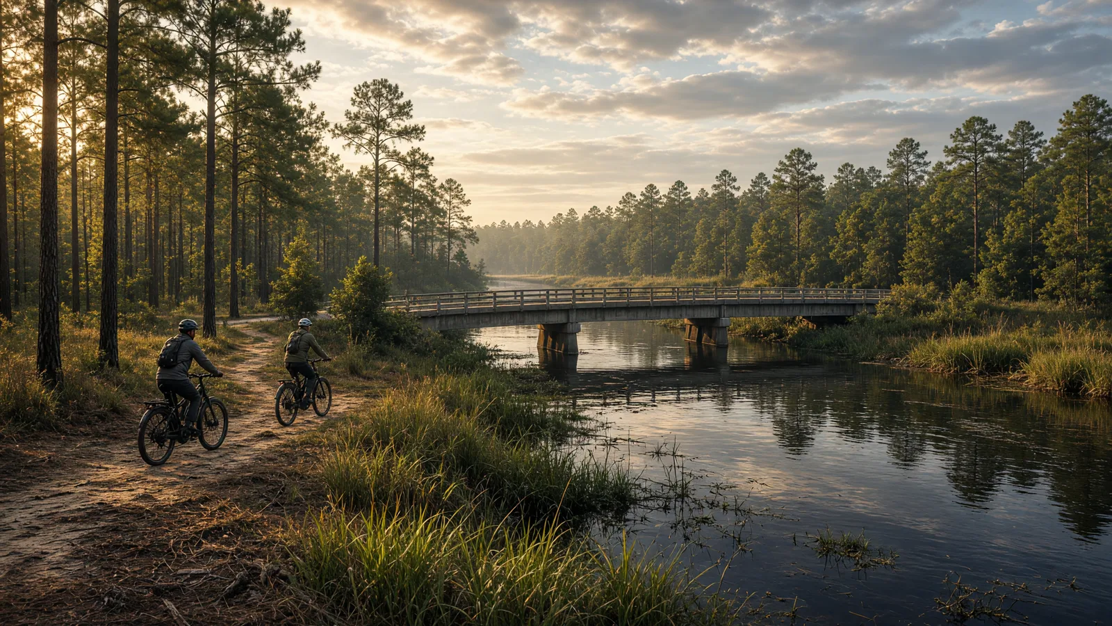
Things To Do on an eBike in Cumberland County, NC
Cumberland County rides differently from the counties around it because its published trail story is short. The county does not currently have an adopted greenways and trails master plan, and the notable trails and greenways named by Triangle Trails sit inside the City of Fayetteville. Past that, the sourced options are two trails in Carvers Creek State Park, a sandy trail system of just over 10 miles, and a long state bicycle route, NC 5.
Where to ride in Cumberland County
The clearest way to read Cumberland County is by place. Fayetteville holds the two trails that Triangle Trails calls notable for the county: the Cape Fear River Trail and the Cape Fear Mountain Bike Park Trail. Carvers Creek State Park holds a 2-mile trail and a 0.75-mile loop. The Sandhills trail system adds just over 10 miles of trail across seven trails. NC 5 is a different kind of ride altogether, a long bicycle route rather than a local trail.
The same Triangle Trails page says Cumberland County has no adopted greenways and trails master plan. For a rider, that means there is no single county trail map to download and follow. You will be piecing together a day from several managers, so the sensible habit is to confirm each route with the people who run it before you load the bike.
If you want to see how the county itself tracks trails, the FAMPO map service lists layers for Existing Trails and Greenways and Proposed Trails and Greenways. The existing layer is a planning view, not a permission slip, and the proposed layer shows routes that are not built. Treat both as background reading.
The East Coast Greenway also names a Cumberland County trail. Its North Carolina page lists the Cape Fear River Trail in Fayetteville at 4.1 miles. That is the distance we use for the trail on this page.
eBike shop hubs
The directory groups the shops on the county hub under Fayetteville and Spring Lake. Use the city pages below to find them.
For the county-wide list, use the Cumberland County eBike shops page. Call any shop before you drive, and ask what it can actually do for your bike on the day you plan to ride.
Rental shops
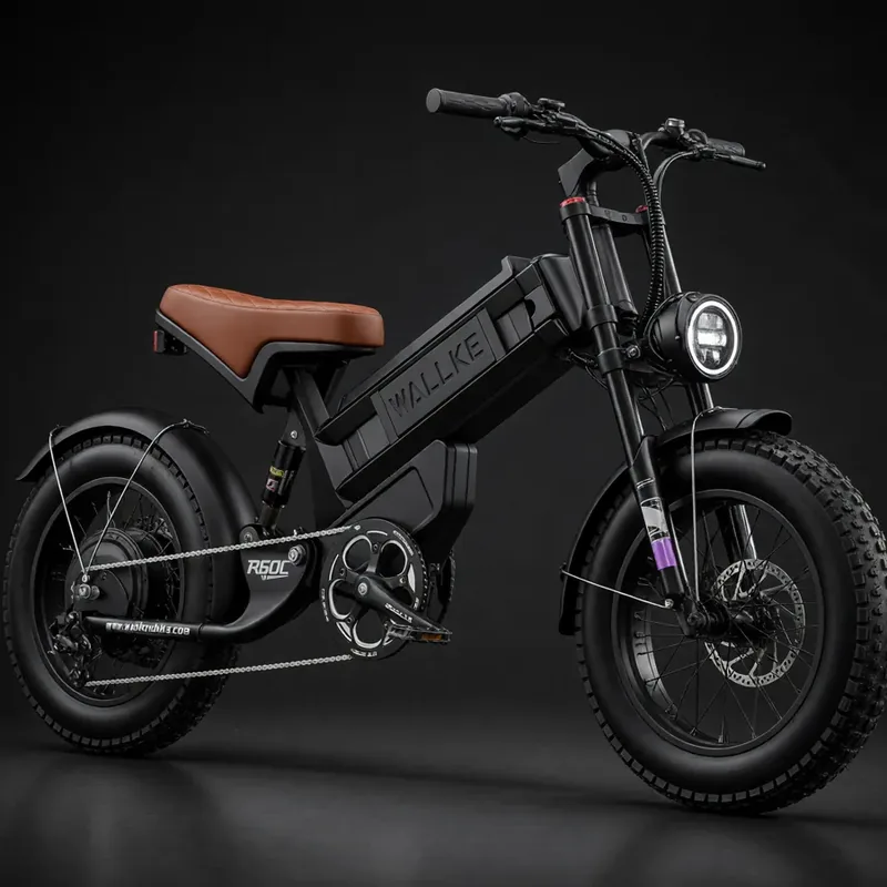
Named eBike routes and access checks
Each route below gives its published distance, where to start, the surface we can source, the e-bike access position and a note on manners. Where a source does not publish a detail, we say so rather than fill the gap. For every route, no e-bike rule is published in our sources, so the state default applies and you should check the posted signs at the trailhead.
1. Cape Fear River Trail (4.1 miles)
Distance: 4.1 miles, as listed by the East Coast Greenway for Fayetteville.
Surface: Directory data lists asphalt and boardwalk.
eBike access: No e-bike rule for this trail appears in our sources. The state default applies. Read the posted signs at either access point before you ride.
Etiquette: Ride at a pace that lets you stop quickly on a shared trail, and slow down on the boardwalk sections.
2. James S. Rockefeller Trail, Carvers Creek State Park (2 miles)
Distance: 2 miles, as listed by Triangle Trails.
Start: Our sources do not publish a trailhead address. Check the state park's own information for the entrance and parking.
Surface: Not published in our sources.
eBike access: No e-bike rule for this trail appears in our sources. The state default applies. State parks post their own rules, so check the signs and ask park staff.
Etiquette: Keep to the trail you are on, ride slowly and give other visitors room.
The James S. Rockefeller Trail is one of two trails Triangle Trails lists for Carvers Creek State Park. Two miles is short enough to treat as a morning outing or as an add-on to a larger day. Since the surface is not published, do not assume it is paved or that it suits narrow road tires. Ask the park what to expect, and decide on tire choice after you hear the answer.
3. Cypress Point Loop Trail, Carvers Creek State Park (0.75 miles)
Distance: 0.75 miles, as listed by Triangle Trails.
Start: Our sources do not publish a trailhead address. Use the park's own information for directions.
Surface: Not published in our sources.
eBike access: No e-bike rule for this trail appears in our sources. The state default applies. Check posted signs before you bring an e-bike onto the loop.
Etiquette: A loop is easy to ride in one direction. Follow any direction the park posts and slow down for walkers.
At three quarters of a mile, Cypress Point Loop is the shortest route on this page. It pairs naturally with the Rockefeller Trail because both sit inside the same park, so one visit can cover 2.75 miles of listed trail in total. Treat it as a short stop, not a destination ride, and confirm whether bikes are permitted on this specific trail before you plan around it.
4. Sandhills trail system (just over 10 miles)
Distance: Just over 10 miles in total, made up of seven trails.
Start: Our sources do not publish a trailhead address for this system. Ask the manager where each trail begins.
Surface: Sandy soil, according to Triangle Trails.
eBike access: No e-bike rule for this system appears in our sources. The state default applies. Check the posted signs before you bring an e-bike, because rules can differ between individual trails.
Etiquette: Ride slowly on sandy ground, stay on marked trails and do not make new lines around soft spots.
Triangle Trails describes the Sandhills access as seven trails on sandy soil that together total just over 10 miles. The mileage is for the whole system, not for one loop, so you cannot ride 10 miles in a single line unless the trails connect, and our sources do not say how they connect. Sand is harder work than pavement. A bike that feels fine on asphalt can use battery faster here, so plan a shorter outing than the total mileage suggests and keep a reserve for the return.
5. NC 5 bicycle route (160 miles)
Distance: 160 miles, according to NCDOT.
Start: NCDOT describes the route as roughly following the course of the Cape Fear River through the southeast coastal plain to the coast. Use the NCDOT bikeways page for the route map and start.
Surface: Not published in our sources.
eBike access: No e-bike rule for this route appears in our sources. The state default applies. Check posted signs along any segment you ride.
Etiquette: Treat any segment as shared space and ride predictably.
NC 5 is a state-designated bicycle route, described by NCDOT as 160 miles long. It is not a Cumberland County loop and no one rides it as a single e-bike day. Use it as a reference for planning a longer trip, and pick a short segment near your base if you want a taste. We do not publish where the route crosses the county, so confirm that on the NCDOT page.
Half-day and full-day eBike plans
Half day, 2 to 3 hours: Ride the Cape Fear River Trail from one of the Fayetteville access points and return. At 4.1 miles each way, the round trip is about 8.2 miles. That leaves time to stop, look around and still finish with battery to spare.
Half day, Carvers Creek State Park: Ride the 2-mile James S. Rockefeller Trail and the 0.75-mile Cypress Point Loop Trail, as the park allows. Together they come to 2.75 miles of listed trail, so this works as a slow, short outing. Confirm bike access with the park first.
Full day: Ride the Cape Fear River Trail in the morning, then drive to Carvers Creek State Park for the two park trails. Our sources do not give driving times between them, so check a map and confirm park hours before you commit. Stop riding when the battery reserve gets thin, not when the trail runs out.
Backup plan: If a trailhead is closed or the posted rules do not allow e-bikes, switch to another route on this page rather than improvising a connection. A shop can help you with a bike, but it cannot override a park or trail manager.
For any of these plans, we suggest you write down the full return distance before you set out, keep a phone charged, and keep the manager's contact details where you can reach them. Surface, wind, rider weight, assist level and tire pressure all change how far a battery goes, and the figures in a bike's brochure are best-case numbers. When in doubt, shorten the ride.
What not to ride in Cumberland County
NC 5 as one day: At 160 miles, it is a long route and not a day ride. Choose a segment if you want to try it.
The Cape Fear Mountain Bike Park Trail as a casual e-bike ride: Triangle Trails names it as a notable Fayetteville trail, but our sources give no distance, surface or e-bike rule for it. We have not planned a route on it, and you should confirm access with the manager before you consider it.
Any trail with a sign that says no e-bikes: Posted signs decide access. If a sign and this page disagree, follow the sign.
The Sandhills sand on a low battery: Soft ground makes a return leg harder than the outbound one. Do not push the last of your range on sand.
Routes listed for other places: The East Coast Greenway North Carolina list also includes the Dunn-Erwin Trail at 5.3 miles and the American Tobacco Trail at 17.5 miles. Those are listed under Dunn-Erwin and under Durham, Chatham and Wake Counties, not under Cumberland County, so they are not part of this page.
When to ride Cumberland County
Our sources for Cumberland County do not publish a riding season, trail hours or a seasonal closure schedule, so we will not invent one. What we can say is practical. Check the manager's notice on the day you ride, because the notice is the one source that reflects current conditions. If you are riding the sandy Sandhills trails, remember that sand changes how a bike behaves, so leave more margin than you would on the Cape Fear River Trail.
Today is November 3, 2026. If your plan depends on a park being open, call or check the park's own page before you drive. Shorter days also mean less time to recover from a wrong turn or a slow return, so build the plan around a start time that leaves slack at the end.
North Carolina eBike laws and route permission
North Carolina's e-bike rules are in transition in 2026. Our North Carolina eBike laws guide, last updated October 19, 2026, separates the rules in force until November 30, 2026 from those starting December 1, 2026, and it carries a correction notice about an earlier version. Read it for the current state text, including what applies to your bike's top assisted speed and the helmet rules.
Frequently asked questions
What is the best eBike ride in Cumberland County?
The Cape Fear River Trail in Fayetteville is the best documented option. The East Coast Greenway lists it at 4.1 miles, and Triangle Trails names it as a notable Cumberland County trail.
Are e-bikes allowed on the Cape Fear River Trail?
No e-bike rule for this trail appears in our sources. The state default applies, so check the posted signs at the access point before you ride.
Which trails are inside Carvers Creek State Park?
Triangle Trails lists the 2-mile James S. Rockefeller Trail and the 0.75-mile Cypress Point Loop Trail. Check the park for bike and e-bike rules before you go.
What is the surface of the Sandhills trails?
Triangle Trails describes the Sandhills access as seven trails on sandy soil, totaling just over 10 miles. Sand is slower going than pavement, so plan a shorter ride.
Does Cumberland County have a trails master plan?
No. Triangle Trails says Cumberland County does not currently have an adopted greenways and trails master plan. The FAMPO map service does show Existing Trails and Greenways and Proposed Trails and Greenways layers.
Where can I find eBike shops in Cumberland County?
The directory groups shops on the county hub under Fayetteville and Spring Lake. Use the city pages or the Cumberland County eBike shops page, and call before you visit.
Where can I read North Carolina eBike laws?
Our North Carolina eBike laws guide covers the rules in force until November 30, 2026 and the changes starting December 1, 2026. Read it before you ride, and follow posted signs on any trail.
Other local service contacts
All eBike shops in Cumberland County
The complete local directory is the Cumberland County eBike shops and repair contacts page. This guide covers route planning; the county hub carries the full shop list.