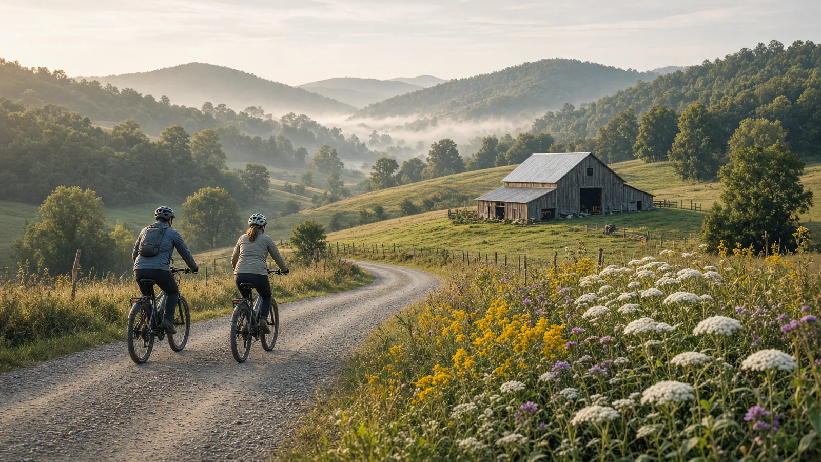
Where to ride in Tucker County
Canaan Valley and Blackwater Falls offer different planning anchors within Tucker County. At Canaan, the Main Lodge, Cabin Area, Nature Center and Balsam Swamp Overlook appear in the trail descriptions, but the cached hiking list does not identify the starting point of the newer 6.2-mile mountain-bike trail. At Blackwater Falls, Pendleton Lake and the Harold Walters Nature Center provide useful orientation, while River Road follows an old railroad grade toward Davis. None of that establishes a complete eBike itinerary across both parks. Monongahela National Forest and Canaan Valley National Wildlife Refuge are separate federal jurisdictions, not extensions of state-park permission. Keep park riding, waterfall viewing and any federal-land visit as separately checked activities rather than joining attractive map lines into an unsupported circuit.
Compare the five route options
No single route fits every rider or every electric bicycle. Compare distance, starting point, surface, and managing authority before choosing.
Canaan Valley 6.2-mile multi-use mountain-bike trail
Start from Not identified in the cached activities page; obtain the marked mountain-bike trail start from the Canaan Valley park office. The documented distance is 6.2 miles as published; loop configuration and return mileage are not specified in this cache. Expect Purpose-built multi-use mountain-bike trail described as built to IMBA standards; tread material is not specified. Confirm the access note before choosing this over another Tucker County option.
Canaan Valley marked biking network
Start from Choose a signed bicycle access with the park office; the cached biking paragraph gives no individual trailhead. The documented distance is 18 miles is the advertised network total, not a single route or an additional distance to add to the 6.2-mile facility. Expect Mountain biking is advertised; the network paragraph does not specify surface materials or technical features. Confirm the access note before choosing this over another Tucker County option.
Blackwater Falls and Blackwater Canyon advertised biking network
Start from No bicycle-network trailhead is specified; obtain a current bike-designated route from Blackwater Falls park staff. The documented distance is The biking section advertises more than 20 miles of trails; no individual bicycle itinerary, endpoints or distance basis is supplied. Expect Not specified in the biking paragraph; do not describe the regional network as uniformly paved, gravel or beginner-friendly. Confirm the access note before choosing this over another Tucker County option.
River Road Trail at Blackwater Falls: access-verification candidate
Start from Maintenance area road, where Yellow Birch Trail ends; a Davis-end access location is not supplied. The documented distance is 1.56 miles as listed; the page does not specify a round trip. Expect Old railroad grade along the Blackwater River; surface material is not specified and the source warns of some vehicle traffic. Confirm the access note before choosing this over another Tucker County option.
Red Spruce Trail at Blackwater Falls: access-verification candidate
Start from The barn, ending at the cabin-area entrance; confirm the mapped access rather than inferring visitor parking. The documented distance is 1.25 miles as listed; no bicycle loop or return distance is documented. Expect Wooded trail through spruce and hemlocks; no surface material is specified. Confirm the access note before choosing this over another Tucker County option.
eBike shop hubs
Use these city directories for addresses, phone numbers, detail pages, and claim links. A city page is a contact index, not proof of current rental stock or route access.
Rental and tour contacts
These 1 existing cards are categorized as rental, tour, or outfitter contacts. Call before planning around inventory, guide availability, shuttles, or trail permission.
Bicycle rental service · Davis, WV
★★★★★5.0(29 reviews)
📍 465 Cortland Rd Davis, WV 26260
📞 (304) 460-8559
Named eBike routes and access checks
1. Canaan Valley 6.2-mile multi-use mountain-bike trail
Distance: 6.2 miles as published; loop configuration and return mileage are not specified in this cache
Start: Not identified in the cached activities page; obtain the marked mountain-bike trail start from the Canaan Valley park office
Surface and rider fit: Purpose-built multi-use mountain-bike trail described as built to IMBA standards; tread material is not specified
eBike access: Explicit conventional mountain-bike evidence. Classes 1 and 2 have ordinary bicycle rights on qualifying state routes under WV Code 17C-11-8, subject to applicable restrictions. Confirm this trail's current designation and restrictions; Class 3 needs express authorization. Cached description does not establish current opening.
Etiquette and planning: This is the strongest bicycle-specific choice in the Canaan Valley cache. The activities page identifies beginner and intermediate users rather than merely describing a pleasant hike. Ask the park office to distinguish this 6.2-mile facility from the older named hiking trails before unloading. Its NICA description does not establish lift access, rental availability, charging, a paved surface or an easy return from every junction. Set the first outing around the least experienced rider and inspect the opening section before committing to the published distance. If the park supplies a shorter approved option, use that rather than inventing a shortcut through the resort's meadows or wetland trails.
Canaan Valley 6.2-mile multi-use mountain-bike trail official or managing-source information
2. Canaan Valley marked biking network
Distance: 18 miles is the advertised network total, not a single route or an additional distance to add to the 6.2-mile facility
Start: Choose a signed bicycle access with the park office; the cached biking paragraph gives no individual trailhead
Surface and rider fit: Mountain biking is advertised; the network paragraph does not specify surface materials or technical features
eBike access: Explicit network-level bicycle evidence, not a verified list of named bicycle trails. Confirm the chosen route and restrictions with Canaan Valley. Classes 1 and 2 follow applicable ordinary bicycle access under state law; Class 3 requires express trail authorization. No current opening verified.
Etiquette and planning: Use the eighteen-mile figure to understand the scale of Canaan Valley's advertised cycling offer, not to promise an eighteen-mile loop. The trails page separately describes Railroad Glade, Back Hollow, Club Run and Middle Ridge, but it introduces that inventory as hiking and does not individually mark bicycle access. A writer should not silently convert those descriptions into an approved cycling list. Request the park guide mentioned in the biking paragraph and identify a manageable signed ride within that network. Keep this entry as an alternative planning framework to the 6.2-mile facility, since the cache does not say whether that newer trail is included in the network total.
Canaan Valley marked biking network official or managing-source information
3. Blackwater Falls and Blackwater Canyon advertised biking network
Distance: The biking section advertises more than 20 miles of trails; no individual bicycle itinerary, endpoints or distance basis is supplied
Start: No bicycle-network trailhead is specified; obtain a current bike-designated route from Blackwater Falls park staff
Surface and rider fit: Not specified in the biking paragraph; do not describe the regional network as uniformly paved, gravel or beginner-friendly
eBike access: Cycling is explicitly advertised at network level. The regional canyon wording does not establish state ownership of every segment or permission on federal land. Verify segment manager, bicycle designation and eBike class before selecting a ride. Class 3 requires express authorization on trails governed by the cited state framework.
Etiquette and planning: Blackwater's cycling paragraph is useful evidence that biking belongs in a Tucker County visit, but it is not a navigation guide. Waterfalls, coke ovens and the stone archway are regional attractions, not verified stops on a single park-managed bicycle route. Do not assign them trailheads or connect them with mileage absent from the source. Ask staff for a named, currently usable bicycle option with clear boundaries and a same-place return if that is what your group needs. The more-than-twenty-mile headline must not become a promised car-free loop. Keep the park's waterfall boardwalk and overlook walks separate from the ride, even when both activities fit into one day.
Blackwater Falls and Blackwater Canyon advertised biking network official or managing-source information
4. River Road Trail at Blackwater Falls: access-verification candidate
Distance: 1.56 miles as listed; the page does not specify a round trip
Start: Maintenance area road, where Yellow Birch Trail ends; a Davis-end access location is not supplied
Surface and rider fit: Old railroad grade along the Blackwater River; surface material is not specified and the source warns of some vehicle traffic
eBike access: Not verified as a bicycle-designated individual trail by these cached pages. Vehicle traffic and an old railroad grade do not prove bicycle or eBike authorization. Research candidate only; do not publish as a recommended ride until the manager confirms bicycle designation and applicable class restrictions.
Etiquette and planning: River Road deserves a targeted question to Blackwater Falls staff because the official description names a Davis connection and warns that vehicles sometimes use the trail. Neither detail is a substitute for bicycle-specific access evidence. The source places the park end at the maintenance area road and describes a riverside railroad grade, but gives no town-end parking instructions. Do not send visitors onto Yellow Birch simply because the two descriptions share an endpoint, or portray this as a confirmed transport link from a Davis rental counter. Hold the recommendation until staff identifies the permitted riding segment, usable access, return arrangement and any current maintenance or traffic restrictions.
River Road Trail at Blackwater Falls: access-verification candidate official or managing-source information
5. Red Spruce Trail at Blackwater Falls: access-verification candidate
Distance: 1.25 miles as listed; no bicycle loop or return distance is documented
Start: The barn, ending at the cabin-area entrance; confirm the mapped access rather than inferring visitor parking
Surface and rider fit: Wooded trail through spruce and hemlocks; no surface material is specified
eBike access: The cache describes hiking and winter cross-country skiing, not explicit bicycle access on Red Spruce. The word Riding elsewhere in the trail inventory is not sufficient cycling evidence. Research candidate only, excluded from publishable riding recommendations pending manager confirmation of bicycle and eBike access.
Etiquette and planning: Red Spruce offers useful orientation within the Blackwater Falls trail system, but the cache establishes only its endpoints, wooded setting and winter ski role. It does not prove that a summer bicycle can follow the same alignment. Ask the park to identify whether the barn-to-cabin segment appears on its bicycle map before using this record in riding copy. Watertank, Stemwinder and Shay Trace references show nearby junctions, not an approved eBike circuit. Do not build a loop from those connections or treat ski access as year-round bicycle permission. If confirmation is unavailable, retain Red Spruce as background research and select an explicitly approved bicycle route instead.
Red Spruce Trail at Blackwater Falls: access-verification candidate official or managing-source information
Half-day and full-day eBike plans
For a Canaan Valley half day, make the explicitly described 6.2-mile mountain-bike facility the single riding objective, subject to the park's current advice. Ask for its actual start, configuration and eBike restrictions before choosing rental equipment or setting a mileage target. Carry the park guide and agree on a turnaround or approved shorter option before leaving. After returning, secure the bicycle and make any wildlife or meadow walk a separate activity. Back Hollow's links between the Main Lodge, Cabin Area and Nature Center are hiking-source facts, not a ready-made bicycle connector. Leave time for an unhurried return rather than adding an unsupported second trail.
For a Blackwater Falls day, first obtain a named bicycle route from the park rather than treating its twenty-mile network headline as an itinerary. Ask specifically about River Road if a Davis connection matters, and abandon that riding idea if staff cannot confirm access. After the approved ride, move to the appropriate visitor access for a waterfall walk with the bike secured. The Trading Post boardwalk involves more than two hundred steps; Gentle Trail offers a separate paved viewing approach, not a verified cycling shortcut. Pendleton Lake can be another separate stop, but boating hours and seasonal rentals require confirmation rather than reliance on the cached summer schedule.
For a route day in Tucker County, carry water, a charged phone, the managing source, and only the tools you know how to use. A portable power station for a Tucker County trailhead base is an optional charging accessory, not permission to plug in or a substitute for conservative range planning. Build the Tucker County return around the battery already on the bike; never assume a public trailhead outlet is available.
Plan the route, service stop, and return together
A useful Tucker County plan starts with one documented route, not a list of pins. Compare Canaan Valley 6.2-mile multi-use mountain-bike trail, Canaan Valley marked biking network, and Blackwater Falls and Blackwater Canyon advertised biking network by start point and surface. Put the longest or least certain option first only when weather, daylight, and battery reserve support it. Otherwise, choose the shorter confirmed outing and keep the second route as a true fallback.
Use Davis as the first service hub because it is represented by an existing directory card. Call about repairs or rentals before driving. A shop cannot override a park, trail authority, road closure, or private owner. Keep the manager’s source open on the same phone that holds the route and emergency contacts.
For each of the five Tucker County entries above, note whether the mileage is a loop, one way, or chosen by turnaround. Then budget the full return. Surface, elevation, temperature, wind, rider weight, assist level, and tire pressure all change consumption. Leave enough reserve to return without searching for an outlet. If the published information is incomplete, shorten this county ride rather than converting uncertainty into a precise claim.
What not to ride in Tucker County
Do not ride the Blackwater Falls Boardwalk as a waterfall approach: its description includes more than two hundred steps and an observation deck, not a bicycle route. Gentle Trail being paved does not make its viewing path a cycleway. Elakala and Lindy Point are presented as hikes, so leave them out of riding recommendations without bicycle-specific authorization. At Canaan Valley, Bald Knob's chairlift access does not establish bicycle carriage or a downhill bike trail. Do not extend a state-park permission assumption along Davis Trail into Monongahela National Forest, into any wilderness, or into Canaan Valley National Wildlife Refuge. Those are separate federal designations and managers. The broad park biking paragraphs also do not validate every named hiking or ski trail. River Road and Red Spruce remain research candidates, not approved rides.
When to ride Tucker County
Canaan Valley's activities page emphasizes high elevation, substantial snowfall and a winter recreation season, so a summer mountain-bike description is not proof of winter riding access. Blackwater Falls identifies Red Spruce as a cross-country ski route in winter; ask about seasonal trail use rather than riding over maintained ski tracks. For wet-weather visits, obtain current surface advice before committing to an unfamiliar woodland trail or railroad grade. Pendleton Lake's cached boating schedule changes after Labor Day and remains weather-dependent. Its old sled-run notice concerns the 2025-2026 season, not the coming winter. Plan daylight, clothing and a non-riding fallback around the actual forecast and park advice; none of these cached descriptions verifies today's opening.
West Virginia eBike laws and route permission
W. Va. Code §17C-1-70 defines an electric bicycle as a two- or three-wheeled vehicle with working pedals and an electric motor of fewer than 750 watts. Class 1 provides pedal assistance that stops at 20 mph. Class 2 can use a throttle, with assistance stopping at 20 mph. Class 3 provides pedal assistance that stops at 28 mph. Those assistance cutoffs do not promise that a route is safe or open to every class.
W. Va. Code §17C-11-8 generally gives Class 1 and Class 2 electric bicycles the rights of conventional bicycles where bicycle use is allowed. Class 3 use is narrower on bicycle paths, multiuse trails, and single-use trails unless the route is within a highway or roadway or the authority with jurisdiction expressly permits it. A Class 3 bicycle also needs a speedometer. Federal agencies, municipalities, state parks, private owners, and trail authorities can apply their own restrictions.
Operators and passengers under 15 must wear a properly fitted and fastened bicycle helmet. Adults should wear helmets as a safety measure, but that recommendation is not a statewide all-adult helmet claim. The statute also addresses title, registration, licensing, financial responsibility, and riding under the influence. Read the West Virginia eBike laws guide, then check the current notice from the manager of the exact route.
Frequently asked questions
Where should I start planning an eBike ride in Tucker County?
Start with Canaan Valley 6.2-mile multi-use mountain-bike trail. Its documented start is Not identified in the cached activities page; obtain the marked mountain-bike trail start from the Canaan Valley park office. Check the linked manager information, current closures, and your bicycle class before travelling.
Does every bicycle route in Tucker County allow every eBike class?
No. West Virginia law distinguishes Class 1, Class 2, and Class 3 use, while federal, state, municipal, and private managers can apply route-specific rules. A bicycle symbol is not universal electric-bicycle permission.
What helmet rule applies to electric bicycles in West Virginia?
W. Va. Code §17C-11-8 requires operators and passengers under 15 to wear a properly fitted and fastened bicycle helmet. Adults should wear helmets too, but that safety advice is not a statewide all-adult mandate.
Do the Tucker County directory cards confirm rentals or battery repair?
No. A directory card is a contact lead. Call with the date, rider height, bike brand, motor system, and intended route. Ask the business to confirm the exact rental, diagnostic, or repair service before travelling.
How should I estimate range for a Tucker County ride?
Use the full return distance for Canaan Valley 6.2-mile multi-use mountain-bike trail or the chosen alternative, not a best-case manufacturer range. Include elevation, surface, weather, detours, and the least confident rider in the plan.
What should I do when a Tucker County trailhead, bridge, or access road is closed?
Turn around and follow the manager’s closure notice. Do not bypass barriers or cross private property. Choose a separately confirmed route rather than inventing a connection on the ground.
All eBike shops in Tucker County
The complete local directory is the Tucker County eBike shops and repair contacts page. This guide owns route planning; the county hub owns the full shop list.