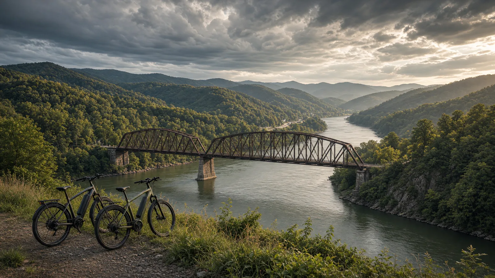
Where to ride in Harrison County
Clarksburg is the hub the trail group itself describes: the South and North rail trails and the West Fork corridor all terminate there, though they do not connect directly yet. That makes the city the practical staging point for three genuinely different rides without repeating a trailhead. The corridors share river and creek crossings on restored trestles and old grades, which suit a heavy eBike well, but surface quality varies by segment and the published descriptions flag rough sections honestly.
Compare the five route options
No single route fits every rider or every electric bicycle. Compare distance, starting point, surface, and managing authority before choosing.
Harrison South Rail Trail
Start from Veterans Memorial Park and the Louis A. Johnson VA Medical Center in Clarksburg, running south toward Lost Creek. The documented distance is More than 10 miles. Expect Crushed-stone rail-trail on a railbanked CSX corridor; a rougher gravel-and-grass section between Mt. Clare and Lost Creek suits mountain bikes over road bikes. Confirm the access note before choosing this over another Harrison County option.
Harrison North Rail Trail
Start from The North View neighborhood of Clarksburg at the southern terminus on N. 25th Street. The documented distance is About 2 miles to the Fall Run trailhead, extending to a dead end south of Spelter and Meadowbrook. Expect A recently repaired, scenic but rough corridor through dense woodland with periodic West Fork River views. Confirm the access note before choosing this over another Harrison County option.
West Fork River Trail, Harrison section
Start from Shinnston, where the trail leaves the Harrison County line eastward along the river. The documented distance is The western 3.5 miles of a 14-mile trail lie in Harrison County; the full trail runs Shinnston to Fairmont. Expect Hard-packed crushed limestone in the Harrison section, paved in Marion County; near-flat the whole way. Confirm the access note before choosing this over another Harrison County option.
Watters Smith Memorial State Park trails
Start from The park office trailhead off Duck Creek Road, Lost Creek; the office gate road is open year-round weather permitting. The documented distance is Not published by the managing source as a measured distance, confirm at the trailhead before planning a specific mileage. Expect Wooded leisurely trails; the park's activities page lists bike-friendly trails and a downloadable map. Confirm the access note before choosing this over another Harrison County option.
North Bend Rail-Trail, Clarksburg terminus
Start from The Clarksburg trailhead, where TrailLink documents the North Bend corridor terminating. The documented distance is The 72-mile corridor's western end begins at Clarksburg; the eastern Harrison-side segments sit within the county. Expect Crushed-stone rail-trail corridor; the long corridor continues east toward the North Bend State Park area. Confirm the access note before choosing this over another Harrison County option.
eBike shop hubs
Use these city directories for addresses, phone numbers, detail pages, and claim links. A city page is a contact index, not proof of current rental stock or route access.
These cards are preserved for repair, sales, or general service enquiries. They are not presented as rental operators.
Bicycle repair shop · Bridgeport, WV
★★★★★5.0(1 review)
📍 126 W Main St Bridgeport, WV 26330
📞 (304) 841-4417
Bicycle Shop · Shinnston, WV
★★★★½4.9(71 reviews)
📍 215 Pike St Shinnston, WV 26431
📞 (304) 592-3000
Bicycle repair shop · Bridgeport, WV
★★★★½4.7(14 reviews)
📍 126 W Main St Bridgeport, WV 26330
📞 (304) 841-4417
Named eBike routes and access checks
1. Harrison South Rail Trail
Distance: More than 10 miles
Start: Veterans Memorial Park and the Louis A. Johnson VA Medical Center in Clarksburg, running south toward Lost Creek
Surface and rider fit: Crushed-stone rail-trail on a railbanked CSX corridor; a rougher gravel-and-grass section between Mt. Clare and Lost Creek suits mountain bikes over road bikes
eBike access: TrailLink's published description documents the corridor, surface mix and restored trestles. Class-specific eBike rules are not published; confirm with the trail group or county before riding.
Etiquette and planning: This is the county's long ride: more than ten miles alongside Browns Creek on a railbanked CSX corridor with several restored trestle crossings. TrailLink's own description flags the rougher middle section as mountain-bike territory rather than road-bike surface, which is useful honesty for tire choice. Use the Clarksburg trailhead for the full out-and-back or the Lost Creek end for the quieter southern leg. The trestles are the ride's signature; walk any approach that looks slick, and keep the far end as a turnaround rather than improvising connections into town streets.
Harrison South Rail Trail official or managing-source information
2. Harrison North Rail Trail
Distance: About 2 miles to the Fall Run trailhead, extending to a dead end south of Spelter and Meadowbrook
Start: The North View neighborhood of Clarksburg at the southern terminus on N. 25th Street
Surface and rider fit: A recently repaired, scenic but rough corridor through dense woodland with periodic West Fork River views
eBike access: TrailLink documents the repaired surface, both trailheads and the planned extensions. Class-specific eBike rules are not published; confirm with the trail group before riding.
Etiquette and planning: TrailLink describes this as recently repaired and scenic albeit rough, which sets the right expectation: a short woodland corridor best ridden with suspension or patience rather than speed. The documented second trailhead at Fall Run off Glen Falls Road makes a shorter out-and-back practical. Watch the unmarked parking at both trailheads, the group's own phrase, and expect the dead-end finish rather than a through-route. Treat extension news from Harrison Rail Trails as future tense until the corridor is actually open.
Harrison North Rail Trail official or managing-source information
3. West Fork River Trail, Harrison section
Distance: The western 3.5 miles of a 14-mile trail lie in Harrison County; the full trail runs Shinnston to Fairmont
Start: Shinnston, where the trail leaves the Harrison County line eastward along the river
Surface and rider fit: Hard-packed crushed limestone in the Harrison section, paved in Marion County; near-flat the whole way
eBike access: TrailLink documents the surface split and the near-flat grade. Class-specific eBike rules are not published; confirm with the managing commission before riding.
Etiquette and planning: TrailLink's description is unusually useful for eBike planning: only a few feet of elevation change between Shinnston and Fairmont, and a documented surface boundary at the county line. That makes the Harrison-side 3.5 miles an honest, predictable beginner ride and the right test lap after any shop adjustment in Clarksburg or Shinnston. The river bends can hide behind summer vegetation, so keep speeds moderate on blind curves. Continue onto the paved Marion section only after deciding the full 14-mile round trip fits the battery.
West Fork River Trail, Harrison section official or managing-source information
4. Watters Smith Memorial State Park trails
Distance: Not published by the managing source as a measured distance, confirm at the trailhead before planning a specific mileage
Start: The park office trailhead off Duck Creek Road, Lost Creek; the office gate road is open year-round weather permitting
Surface and rider fit: Wooded leisurely trails; the park's activities page lists bike-friendly trails and a downloadable map
eBike access: The park's activities page lists biking with a note that the office gate road is open year-round unless weather prohibits. Class-specific eBike rules are not published; call 304-745-3081 to confirm.
Etiquette and planning: This is the county's state-park option, and the park's own activities page promotes leisurely biking trails with a downloadable map, which makes it a legitimate shop-and-shakedown destination between the rail trails. The homestead and museum core means pedestrian traffic near the historic buildings; walk the bike through the cultural area and ride the wooded loops outside it. The 7 a.m. to 5 p.m. office hours bound the practical riding day, and the park explicitly notes no overnight accommodation, so plan it as a half-day stop between rail-trail rides. Source note on distance: A short trail network on 532 acres; the park publishes walking-scale distances rather than bike mileage
Watters Smith Memorial State Park trails official or managing-source information
5. North Bend Rail-Trail, Clarksburg terminus
Distance: The 72-mile corridor's western end begins at Clarksburg; the eastern Harrison-side segments sit within the county
Start: The Clarksburg trailhead, where TrailLink documents the North Bend corridor terminating
Surface and rider fit: Crushed-stone rail-trail corridor; the long corridor continues east toward the North Bend State Park area
eBike access: TrailLink documents the Clarksburg terminus as part of the county's rail-trail hub. Confirm current corridor conditions and eBike class policy with the managing office before riding.
Etiquette and planning: Treat the Clarksburg end as the county's doorway onto the region's longest rail-trail: the corridor eventually reaches the 72-mile North Bend system, but the Harrison-side sections are the practical local ride. TrailLink's own text notes the Clarksburg rail-trail group here does not connect directly between corridors, so plan each access deliberately. Ride an honest out-and-back segment rather than promising the full corridor, and remember the tunnel sections farther east belong to other counties and carry their own lighting and surface checks.
North Bend Rail-Trail, Clarksburg terminus official or managing-source information
Half-day and full-day eBike plans
For a half-day, start at the Harrison South Rail Trail's Clarksburg trailhead for a trestle-paced out-and-back, then drive the short distance to the West Fork River Trail's Shinnston access for the firm, near-flat Harrison-side 3.5 miles. That pairs the county's two surface characters honestly in one afternoon. Confirm eBike class policies with the managing offices before unloading, and keep the rough middle section of the South trail for a mountain-bike day.
For a full day, add the Harrison North Rail Trail's Fall Run out-and-back as a third short leg and make Watters Smith State Park the lunch-and-walk stop between trail systems. The park's 7 a.m. to 5 p.m. hours frame the day, and the rail corridors' dead ends mean every ride is naturally out-and-back, so range planning stays simple. Reserve battery margin for the North trail's rougher tread, and check the Harrison Rail Trails group's extension news before promising anyone a longer network.
For a route day in Harrison County, carry water, a charged phone, the managing source, and only the tools you know how to use. A portable power station for a Harrison County trailhead base is an optional charging accessory, not permission to plug in or a substitute for conservative range planning. Build the Harrison County return around the battery already on the bike; never assume a public trailhead outlet is available.
Plan the route, service stop, and return together
A useful Harrison County plan starts with one documented route, not a list of pins. Compare Harrison South Rail Trail, Harrison North Rail Trail, and West Fork River Trail, Harrison section by start point and surface. Put the longest or least certain option first only when weather, daylight, and battery reserve support it. Otherwise, choose the shorter confirmed outing and keep the second route as a true fallback.
Use Bridgeport as the first service hub because it is represented by an existing directory card. Call about repairs or rentals before driving. A shop cannot override a park, trail authority, road closure, or private owner. Keep the manager’s source open on the same phone that holds the route and emergency contacts.
For each of the five Harrison County entries above, note whether the mileage is a loop, one way, or chosen by turnaround. Then budget the full return. Surface, elevation, temperature, wind, rider weight, assist level, and tire pressure all change consumption. Leave enough reserve to return without searching for an outlet. If the published information is incomplete, shorten this county ride rather than converting uncertainty into a precise claim.
What not to ride in Harrison County
Do not treat TrailLink's rougher-section warnings as decoration: the Harrison South trail's middle section and the Harrison North trail's repaired-but-rough tread are described as mountain-bike surfaces, and a road-bike frame or a heavy commuter eBike should not be committed blind. Do not ride into the extension corridors that exist only in plan documents. Stay off the VA Medical Center grounds and active parking lots with a bike, and remember the West Fork corridor's paved section beyond the county line belongs to a different commission with its own rules.
When to ride Harrison County
Spring keeps the limestone West Fork section firm while the South trail's grass-gravel section dries later; sequence accordingly after rain. The river-valley corridors are exposed to summer sun, so ride early and use Shinnston or Clarksburg for midday services. Fall color on the trestle crossings is the county's best riding window. Winter riding is practical on the crushed-stone surfaces, but the trestle decks ice before the tread does, so check conditions after any freeze, and confirm the Watters Smith gate status by phone in winter.
West Virginia eBike laws and route permission
W. Va. Code §17C-1-70 defines an electric bicycle as a two- or three-wheeled vehicle with working pedals and an electric motor of fewer than 750 watts. Class 1 provides pedal assistance that stops at 20 mph. Class 2 can use a throttle, with assistance stopping at 20 mph. Class 3 provides pedal assistance that stops at 28 mph. Those assistance cutoffs do not promise that a route is safe or open to every class.
W. Va. Code §17C-11-8 generally gives Class 1 and Class 2 electric bicycles the rights of conventional bicycles where bicycle use is allowed. Class 3 use is narrower on bicycle paths, multiuse trails, and single-use trails unless the route is within a highway or roadway or the authority with jurisdiction expressly permits it. A Class 3 bicycle also needs a speedometer. Federal agencies, municipalities, state parks, private owners, and trail authorities can apply their own restrictions.
Operators and passengers under 15 must wear a properly fitted and fastened bicycle helmet. Adults should wear helmets as a safety measure, but that recommendation is not a statewide all-adult helmet claim. The statute also addresses title, registration, licensing, financial responsibility, and riding under the influence. Read the West Virginia eBike laws guide, then check the current notice from the manager of the exact route.
Frequently asked questions
Where should I start planning an eBike ride in Harrison County?
Start with Harrison South Rail Trail. Its documented start is Veterans Memorial Park and the Louis A. Johnson VA Medical Center in Clarksburg, running south toward Lost Creek. Check the linked manager information, current closures, and your bicycle class before travelling.
Does every bicycle route in Harrison County allow every eBike class?
No. West Virginia law distinguishes Class 1, Class 2, and Class 3 use, while federal, state, municipal, and private managers can apply route-specific rules. A bicycle symbol is not universal electric-bicycle permission.
What helmet rule applies to electric bicycles in West Virginia?
W. Va. Code §17C-11-8 requires operators and passengers under 15 to wear a properly fitted and fastened bicycle helmet. Adults should wear helmets too, but that safety advice is not a statewide all-adult mandate.
Do the Harrison County directory cards confirm rentals or battery repair?
No. A directory card is a contact lead. Call with the date, rider height, bike brand, motor system, and intended route. Ask the business to confirm the exact rental, diagnostic, or repair service before travelling.
How should I estimate range for a Harrison County ride?
Use the full return distance for Harrison South Rail Trail or the chosen alternative, not a best-case manufacturer range. Include elevation, surface, weather, detours, and the least confident rider in the plan.
What should I do when a Harrison County trailhead, bridge, or access road is closed?
Turn around and follow the manager’s closure notice. Do not bypass barriers or cross private property. Choose a separately confirmed route rather than inventing a connection on the ground.
All eBike shops in Harrison County
The complete local directory is the Harrison County eBike shops and repair contacts page. This guide owns route planning; the county hub owns the full shop list.