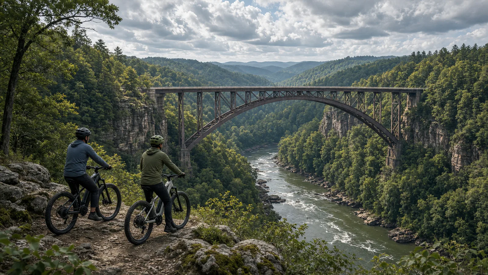
Where to ride in Fayette County
The New River Gorge is not a continuous greenway. A line that looks short across the river on a map can involve a winding road journey between access points. A trip to Stone Cliff, a visit to Thurmond, and a separate afternoon near Babcock should be planned as separate stops, not advertised as one connected car-free loop. Before the modern New River Gorge Bridge opened in 1977, the crossing followed Fayette Station Road on an eight-mile descent and climb through the gorge. That is scenic road riding, not the equivalent of an eight-mile level rail-trail. Allow time to move the vehicle, secure the bike, and check signs at each new jurisdiction.
Compare the five route options
No single route fits every rider or every electric bicycle. Compare distance, starting point, surface, and managing authority before choosing.
Stone Cliff Trail
Start from The picnic area beyond the boat launch parking area at Stone Cliff, reached from the Thurmond approach. The documented distance is 2.7 miles one way; 5.4 miles if returning over the complete route. Expect An old road beside the New River; the source does not specify a uniform surface material. Confirm the access note before choosing this over another Fayette County option.
Fayette Station Road
Start from The signed Fayette Station Road turn from Lansing-Edmond Road, following the park's directions from the Canyon Rim area. The documented distance is 8-mile one-way road tour; this is not a closed bicycle loop. Expect A winding public road with hairpin curves, a river bridge and a climb out of the gorge; no separated cycleway promised. Confirm the access note before choosing this over another Fayette County option.
Hawks Nest Rail Trail
Start from The Route 60 access at the beginning of Hawks Nest Road, or the lower access behind the Gift Shop/Nature Center. The documented distance is The state-park page labels the trail 3.8 miles without clarifying whether that is a return distance; confirm the segment before budgeting range. Expect Gravel following Mill Creek, with a slight uphill grade from the river end. Confirm the access note before choosing this over another Fayette County option.
Manns Creek Gorge Trail at Babcock
Start from Across from Campsite 26 or at the first parking area at Camp Washington Carver. The documented distance is 2 miles along a non-loop trail; returning the same way gives an approximately 4-mile plan. Expect A moderate mountain-biking trail; no paved or uniformly smooth surface is stated. Confirm the access note before choosing this over another Fayette County option.
Old Pond Trail at Babcock
Start from The Natural Arch parking lot or the gate before the road intersection toward Manns Creek overlook. The documented distance is 1.5 miles as listed by the park; choose the return plan at the trailhead rather than assuming a signed loop. Expect A moderate trail with uphill sections from either end; the source does not identify a uniform tread material. Confirm the access note before choosing this over another Fayette County option.
eBike shop hubs
Use these city directories for addresses, phone numbers, detail pages, and claim links. A city page is a contact index, not proof of current rental stock or route access.
These cards are preserved for repair, sales, or general service enquiries. They are not presented as rental operators.
Bicycle repair shop · Mt Hope, WV
★★★★★5.0(3 reviews)
📍 Mt Hope, WV 25880 Mt Hope, WV 25880
Bicycle Shop · Fayetteville, WV
★★★★½4.6(53 reviews)
📍 221 N Court St Fayetteville, WV 25840
📞 (304) 574-2453
Named eBike routes and access checks
1. Stone Cliff Trail
Distance: 2.7 miles one way; 5.4 miles if returning over the complete route
Start: The picnic area beyond the boat launch parking area at Stone Cliff, reached from the Thurmond approach
Surface and rider fit: An old road beside the New River; the source does not specify a uniform surface material
eBike access: The NPS bicycling policy permits Class 1 and Class 2 eBikes on Stone Cliff, but not Class 3. Check current park alerts before departure.
Etiquette and planning: This is the clearest trail option for an eBike visitor inside the national park. The river stays close to the old road, and the NPS rates the outing easy to moderate rather than promising a smooth paved greenway. Start beside the picnic area, allow space for walkers, and turn around before the full distance if the surface or your group's confidence changes. The published old-growth-forest visit involves leaving the trail and climbing a steep slope on foot; it is not an extra bike spur. Keep the ride and that optional walk separate. Carry the bike's class label or documentation, as the park's policy requires.
Stone Cliff Trail official or managing-source information
2. Fayette Station Road
Distance: 8-mile one-way road tour; this is not a closed bicycle loop
Start: The signed Fayette Station Road turn from Lansing-Edmond Road, following the park's directions from the Canyon Rim area
Surface and rider fit: A winding public road with hairpin curves, a river bridge and a climb out of the gorge; no separated cycleway promised
eBike access: NPS permits Classes 1, 2 and 3 on park roads open to motor vehicles. Follow road signs and traffic direction; arrange a safe finish rather than improvising a US-19 return.
Etiquette and planning: Choose this only if you are comfortable sharing a narrow, twisting road with motor vehicles and controlling a loaded eBike on a long descent. Pedal assist helps with the climb but does not shorten stopping distance or remove blind corners. The NPS calls this a driving tour and describes an eight-mile one-way route, so do not interpret the distance as a family cycle circuit. The lower crossing is the Tunney Hunsaker Bridge, and the road climbs back toward US-19 near Fayetteville. Sort out collection or a suitable onward route before descending. Stop only in safe places clear of moving traffic; a viewpoint is not a reason to block the road.
Fayette Station Road official or managing-source information
3. Hawks Nest Rail Trail
Distance: The state-park page labels the trail 3.8 miles without clarifying whether that is a return distance; confirm the segment before budgeting range
Start: The Route 60 access at the beginning of Hawks Nest Road, or the lower access behind the Gift Shop/Nature Center
Surface and rider fit: Gravel following Mill Creek, with a slight uphill grade from the river end
eBike access: Bicycles are permitted and the town of Ansted maintains the trail. The page still carries a repair-closure notice ending June 2026; do not assume reopening from that expired date. Confirm status and eBike class with the manager.
Etiquette and planning: Mill Creek gives this route a different character from the broad New River frontage at Stone Cliff. The state description identifies two bridges, waterfalls and remnants of a former coal mine along the old railway. Use those as reasons to slow down and look, not as guarantees that every bridge is currently usable. The unresolved repair notice matters more than a scenic description. Before unloading, contact the park or town and ask whether the entire intended section is open, which access point is usable, and whether there are any temporary bicycle restrictions. Do not combine the published distance with an assumed out-and-back calculation when the source leaves the distance basis unclear.
Hawks Nest Rail Trail official or managing-source information
4. Manns Creek Gorge Trail at Babcock
Distance: 2 miles along a non-loop trail; returning the same way gives an approximately 4-mile plan
Start: Across from Campsite 26 or at the first parking area at Camp Washington Carver
Surface and rider fit: A moderate mountain-biking trail; no paved or uniformly smooth surface is stated
eBike access: The park explicitly describes mountain biking here. Confirm current eBike-class access and any weather restrictions with Babcock before riding; Class 3 needs express trail authorization.
Etiquette and planning: This is the Babcock option to assess when your group wants a mountain-bike outing instead of a road tour. The official description identifies two trailheads and says the route is not a loop. A simple same-way return makes the navigation easier than trying to stitch park roads into a circuit, but inspect the trail and turn back where necessary. Mountain-bike suitability does not mean a heavy rental eBike will be easy for every rider to handle. Ask the park about recent rain damage, then ask the rental provider whether the bike and your experience suit the terrain. Keep the campground approach quiet and slow, and leave room for people walking from their sites.
Manns Creek Gorge Trail at Babcock official or managing-source information
5. Old Pond Trail at Babcock
Distance: 1.5 miles as listed by the park; choose the return plan at the trailhead rather than assuming a signed loop
Start: The Natural Arch parking lot or the gate before the road intersection toward Manns Creek overlook
Surface and rider fit: A moderate trail with uphill sections from either end; the source does not identify a uniform tread material
eBike access: The park calls this suitable for biking. Confirm eBike-class permission and current trail condition; permission for conventional bicycles is not a Class 3 authorization.
Etiquette and planning: Old Pond is a shorter named choice, but the official description warns of uphill sections whichever end you use. That makes it a better discussion with the park office than a blanket beginner recommendation. Locate your chosen trailhead on the park map and identify the return route before passing any junction. Do not mistake the Natural Arch parking access for permission to ride every walking spur around the arch. Keep assist low near other visitors and stop before reading a map or changing settings. If a member of the group cannot comfortably manage the bike on the initial climb, use that early information to shorten the ride rather than pushing into a longer linked trail system.
Old Pond Trail at Babcock official or managing-source information
Half-day and full-day eBike plans
For a half-day river outing, make Stone Cliff the only riding commitment. Confirm the NPS policy and alerts, call the Fayetteville or Mt Hope listing that fits your needs, and leave for the trail with the bike already adjusted. Begin at the picnic-area trailhead and use a conservative turnaround rather than treating all 5.4 return miles as mandatory. Spend the remaining time looking at the river from established access points. If you want to see Thurmond, move the vehicle and make that a separate history stop; do not improvise a railway or trail connection between the two destinations.
For a full day with a confident group, choose one confirmed Babcock trail and a separate Ansted stop rather than combining every option. Start with the park office's current advice for Manns Creek Gorge or Old Pond, carry lunch, and reserve time to return the bike. Hawks Nest Rail Trail belongs in the plan only after the repair notice has been resolved by its manager. If it remains unavailable, make the afternoon a walk or viewpoint visit with the bike secured. Fayette Station Road is an alternative road-riding day for traffic-confident adults, not an automatic extra descent after tiring trail miles.
For a route day in Fayette County, carry water, a charged phone, the managing source, and only the tools you know how to use. A portable power station for a Fayette County trailhead base is an optional charging accessory, not permission to plug in or a substitute for conservative range planning. Build the Fayette County return around the battery already on the bike; never assume a public trailhead outlet is available.
Plan the route, service stop, and return together
A useful Fayette County plan starts with one documented route, not a list of pins. Compare Stone Cliff Trail, Fayette Station Road, and Hawks Nest Rail Trail by start point and surface. Put the longest or least certain option first only when weather, daylight, and battery reserve support it. Otherwise, choose the shorter confirmed outing and keep the second route as a true fallback.
Use Mt Hope as the first service hub because it is represented by an existing directory card. Call about repairs or rentals before driving. A shop cannot override a park, trail authority, road closure, or private owner. Keep the manager’s source open on the same phone that holds the route and emergency contacts.
For each of the five Fayette County entries above, note whether the mileage is a loop, one way, or chosen by turnaround. Then budget the full return. Surface, elevation, temperature, wind, rider weight, assist level, and tire pressure all change consumption. Leave enough reserve to return without searching for an outlet. If the published information is incomplete, shorten this county ride rather than converting uncertainty into a precise claim.
What not to ride in Fayette County
Do not use the national park's conventional bicycle list as an eBike permission list. Arrowhead, Southside, Rend and Keeneys Creek are not included in the published Stone Cliff eBike exception. The Keeneys Creek page also reports a dangerous washout closure, while Rend reports a structurally damaged bridge; neither is a fallback route to improvise when another ride is closed. At Babcock, the Narrow Gauge page reports a lost Glade Creek bridge and mentions carrying bicycles around difficult sections. Leave it out of a casual eBike itinerary until the park supplies a workable current plan. Never ride a hiking-only overlook spur, active railway, closed bridge or blocked access road simply because a mapping app draws a line through it.
When to ride Fayette County
Choose the day's exposure as carefully as its mileage. In the gorge, a shaded river-bottom start and a sunlit road climb can feel like different outings. After rain, ask about washouts and standing water before driving down to the river. Leaves can hide stones and wet roots on the Babcock trails, and fading light is a poor time to discover that a return road is longer than expected. Winter and shoulder-season plans should depend on current weather and park advice, not an assumed year-round service schedule. Build the return around daylight and the rental deadline. None of the linked trail descriptions confirms today's opening, so check alerts close to departure.
West Virginia eBike laws and route permission
W. Va. Code §17C-1-70 defines an electric bicycle as a two- or three-wheeled vehicle with working pedals and an electric motor of fewer than 750 watts. Class 1 provides pedal assistance that stops at 20 mph. Class 2 can use a throttle, with assistance stopping at 20 mph. Class 3 provides pedal assistance that stops at 28 mph. Those assistance cutoffs do not promise that a route is safe or open to every class.
W. Va. Code §17C-11-8 generally gives Class 1 and Class 2 electric bicycles the rights of conventional bicycles where bicycle use is allowed. Class 3 use is narrower on bicycle paths, multiuse trails, and single-use trails unless the route is within a highway or roadway or the authority with jurisdiction expressly permits it. A Class 3 bicycle also needs a speedometer. Federal agencies, municipalities, state parks, private owners, and trail authorities can apply their own restrictions.
Operators and passengers under 15 must wear a properly fitted and fastened bicycle helmet. Adults should wear helmets as a safety measure, but that recommendation is not a statewide all-adult helmet claim. The statute also addresses title, registration, licensing, financial responsibility, and riding under the influence. Read the West Virginia eBike laws guide, then check the current notice from the manager of the exact route.
Frequently asked questions
Where should I start planning an eBike ride in Fayette County?
Start with Stone Cliff Trail. Its documented start is The picnic area beyond the boat launch parking area at Stone Cliff, reached from the Thurmond approach. Check the linked manager information, current closures, and your bicycle class before travelling.
Does every bicycle route in Fayette County allow every eBike class?
No. West Virginia law distinguishes Class 1, Class 2, and Class 3 use, while federal, state, municipal, and private managers can apply route-specific rules. A bicycle symbol is not universal electric-bicycle permission.
What helmet rule applies to electric bicycles in West Virginia?
W. Va. Code §17C-11-8 requires operators and passengers under 15 to wear a properly fitted and fastened bicycle helmet. Adults should wear helmets too, but that safety advice is not a statewide all-adult mandate.
Do the Fayette County directory cards confirm rentals or battery repair?
No. A directory card is a contact lead. Call with the date, rider height, bike brand, motor system, and intended route. Ask the business to confirm the exact rental, diagnostic, or repair service before travelling.
How should I estimate range for a Fayette County ride?
Use the full return distance for Stone Cliff Trail or the chosen alternative, not a best-case manufacturer range. Include elevation, surface, weather, detours, and the least confident rider in the plan.
What should I do when a Fayette County trailhead, bridge, or access road is closed?
Turn around and follow the manager’s closure notice. Do not bypass barriers or cross private property. Choose a separately confirmed route rather than inventing a connection on the ground.
All eBike shops in Fayette County
The complete local directory is the Fayette County eBike shops and repair contacts page. This guide owns route planning; the county hub owns the full shop list.