Houtzdale Line Trail
Start from SR 53/Spring St (Osceola Mills) and T550/Chesterfield Rd (Madera). The documented distance is 11.08 miles. Expect Gravel. Confirm the access note before choosing this over another Clearfield County option.
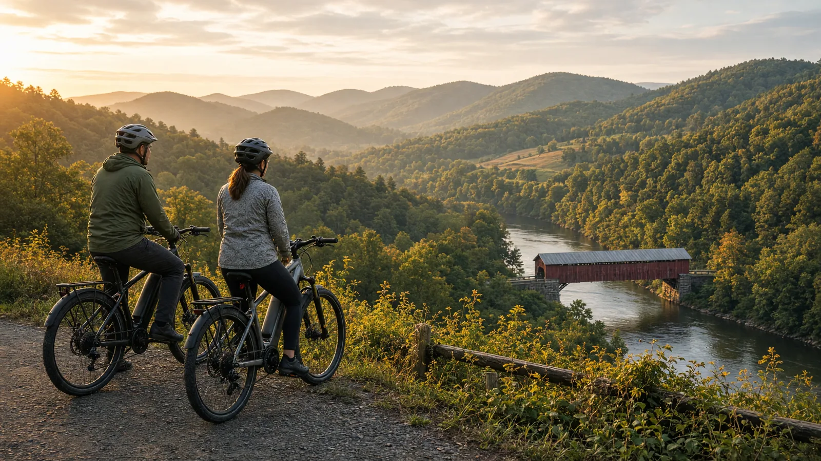
Clearfield County eBike planning starts with the sourced routes below and the posted access rule, not a shop pin. #clearfieldCountyPA
This guide separates sourced route facts from permission questions. Check the manager, the posted access rule, weather, and closures before travelling.

Clearfield County riders can start with manager-listed bicycle routes whose Facts name this county, then confirm the posted rule before leaving Clearfield.
No single route fits every rider or every electric bicycle. Compare distance, starting point, surface, and managing authority before choosing.
Start from SR 53/Spring St (Osceola Mills) and T550/Chesterfield Rd (Madera). The documented distance is 11.08 miles. Expect Gravel. Confirm the access note before choosing this over another Clearfield County option.
Start from Chester St. and Linden St. (Clearfield) and PA 729/Grandview Road and W. Stronach Road (Grampian). The documented distance is 10.6 miles. Expect Crushed Stone. Confirm the access note before choosing this over another Clearfield County option.
Start from Falls Creek, PA and SR 219 McMinns Summit. The documented distance is 4.2 miles. Expect Gravel. Confirm the access note before choosing this over another Clearfield County option.
Start from Dubois City Park and Shaffer Road (Dubois). The documented distance is 2.9 miles. Expect Asphalt. Confirm the access note before choosing this over another Clearfield County option.
Start from Clymer Ballfield, 290 Penn St. and 10th St. (Clymer). The documented distance is 0.25 miles. Expect Asphalt. Confirm the access note before choosing this over another Clearfield County option.
Use these city directories for addresses, phone numbers, detail pages, and claim links. A city page is a contact index, not proof of current rental stock or route access.
These cards are preserved for repair, sales, or general service enquiries. They are not presented as rental operators.


Distance: 11.08 miles
Start: SR 53/Spring St (Osceola Mills) and T550/Chesterfield Rd (Madera)
Surface and rider fit: Gravel
eBike access: eBike access for Clearfield County: Houtzdale Line Trail is a manager-listed bicycling route. 75 Pa.C.S. section 102 defines a pedalcycle with electric assist as one device, with operable pedals, a motor rated at not more than 750 watts, and a motor-only speed not more than 20 miles per hour on a level surface. 75 Pa.C.S. section 3514 says no person under 16 may operate that bicycle. This route lists Clearfield County in its managing-source Facts. Confirm the posted rule before riding.
Etiquette and planning: Plan the Clearfield County outing around the published endpoints and the return, not a one-way guess. 75 Pa.C.S. section 3508 requires yielding to pedestrians on a sidewalk or path, and section 3511 bars pedalcycles on a freeway except limited published exceptions.
Houtzdale Line Trail official or managing-source information
Distance: 10.6 miles
Start: Chester St. and Linden St. (Clearfield) and PA 729/Grandview Road and W. Stronach Road (Grampian)
Surface and rider fit: Crushed Stone
eBike access: eBike access for Clearfield County: David S. Ammerman Trail (formerly Clearfield to Grampian Trail) is a manager-listed bicycling route. 75 Pa.C.S. section 102 defines a pedalcycle with electric assist as one device, with operable pedals, a motor rated at not more than 750 watts, and a motor-only speed not more than 20 miles per hour on a level surface. 75 Pa.C.S. section 3514 says no person under 16 may operate that bicycle. This route lists Clearfield County in its managing-source Facts. Confirm the posted rule before riding.
Etiquette and planning: Plan the Clearfield County outing around the published endpoints and the return, not a one-way guess. 75 Pa.C.S. section 3508 requires yielding to pedestrians on a sidewalk or path, and section 3511 bars pedalcycles on a freeway except limited published exceptions.
Distance: 4.2 miles
Start: Falls Creek, PA and SR 219 McMinns Summit
Surface and rider fit: Gravel
eBike access: eBike access for Clearfield County: Wolf Run Trail (PA) is a manager-listed bicycling route. 75 Pa.C.S. section 102 defines a pedalcycle with electric assist as one device, with operable pedals, a motor rated at not more than 750 watts, and a motor-only speed not more than 20 miles per hour on a level surface. 75 Pa.C.S. section 3514 says no person under 16 may operate that bicycle. This route lists Clearfield County in its managing-source Facts. Confirm the posted rule before riding.
Etiquette and planning: Plan the Clearfield County outing around the published endpoints and the return, not a one-way guess. 75 Pa.C.S. section 3508 requires yielding to pedestrians on a sidewalk or path, and section 3511 bars pedalcycles on a freeway except limited published exceptions.
Distance: 2.9 miles
Start: Dubois City Park and Shaffer Road (Dubois)
Surface and rider fit: Asphalt
eBike access: eBike access for Clearfield County: Beaver Meadow Trail is a manager-listed bicycling route. 75 Pa.C.S. section 102 defines a pedalcycle with electric assist as one device, with operable pedals, a motor rated at not more than 750 watts, and a motor-only speed not more than 20 miles per hour on a level surface. 75 Pa.C.S. section 3514 says no person under 16 may operate that bicycle. This route lists Clearfield County in its managing-source Facts. Confirm the posted rule before riding.
Etiquette and planning: Plan the Clearfield County outing around the published endpoints and the return, not a one-way guess. 75 Pa.C.S. section 3508 requires yielding to pedestrians on a sidewalk or path, and section 3511 bars pedalcycles on a freeway except limited published exceptions.
Distance: 0.25 miles
Start: Clymer Ballfield, 290 Penn St. and 10th St. (Clymer)
Surface and rider fit: Asphalt
eBike access: eBike access for Clearfield County: Clymer Trail is a manager-listed bicycling route. 75 Pa.C.S. section 102 defines a pedalcycle with electric assist as one device, with operable pedals, a motor rated at not more than 750 watts, and a motor-only speed not more than 20 miles per hour on a level surface. 75 Pa.C.S. section 3514 says no person under 16 may operate that bicycle. This is a regional day trip for riders based in Clearfield County. The managing source places it in Indiana, not inside Clearfield County. Confirm the posted rule before riding.
Etiquette and planning: Plan the Clearfield County outing around the published endpoints and the return, not a one-way guess. 75 Pa.C.S. section 3508 requires yielding to pedestrians on a sidewalk or path, and section 3511 bars pedalcycles on a freeway except limited published exceptions.
Half day in Clearfield County: ride Houtzdale Line Trail out and back from the published start, and leave battery reserve for the return.
Full day in Clearfield County: compare Houtzdale Line Trail and David S. Ammerman Trail (formerly Clearfield to Grampian Trail) by surface and endpoints, then pick one. Do not stitch them into an unpublished connection.
Fallback in Clearfield County: if the first trailhead is closed, use the next sourced route on this page rather than a pin with no managing source.
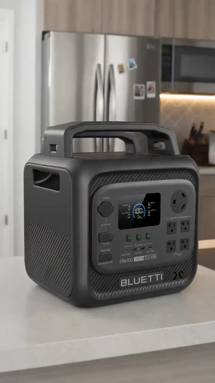
For a route day in Clearfield County, carry water, a charged phone, the managing source, and only the tools you know how to use. A portable power station for a Clearfield County trailhead base is an optional charging accessory, not permission to plug in or a substitute for conservative range planning. Build the Clearfield County return around the battery already on the bike; never assume a public trailhead outlet is available.
A useful Clearfield County plan starts with one documented route, not a list of pins. Compare Houtzdale Line Trail, David S. Ammerman Trail (formerly Clearfield to Grampian Trail), and Wolf Run Trail (PA) by start point and surface. Put the longest or least certain option first only when weather, daylight, and battery reserve support it. Otherwise, choose the shorter confirmed outing and keep the second route as a true fallback.
Use Dubois as the first service hub for Clearfield County riders because it is represented by an existing directory card. Call about repairs or rentals before driving. A shop cannot override a park, trail authority, road closure, or private owner. Keep the manager’s source open on the same phone that holds the route and emergency contacts.
For each of the five Clearfield County entries above, note whether the mileage is a loop, one way, or chosen by turnaround. Then budget the full return. Surface, elevation, temperature, wind, rider weight, assist level, and tire pressure all change consumption. Leave enough reserve to return without searching for an outlet. If the published information is incomplete, shorten this county ride rather than converting uncertainty into a precise claim.
In Clearfield County, do not ride a closed segment, a freeway, or a business-district sidewalk unless the posted device allows it. 75 Pa.C.S. section 3511 bars pedalcycles on a freeway except limited exceptions, and section 3508 limits sidewalk riding where pedestrians have the right of way.
In Clearfield County, ride the documented route in daylight, avoid ice and high water, and recheck the manager notice the same day. Summer heat and winter shoulders both change range on these surfaces.
75 Pa.C.S. § 102 defines a pedalcycle with electric assist as a vehicle weighing not more than 100 pounds, with two or three wheels more than 11 inches in diameter, manufactured or assembled with an electric motor system rated at not more than 750 watts, equipped with operable pedals, and capable of a speed not more than 20 miles per hour on a level surface when powered by the motor source only. The term does not include a device specifically designed for use by persons with disabilities. A pedalcycle is a vehicle propelled solely by human-powered pedals or a pedalcycle with electric assist.
75 Pa.C.S. § 3514 says no person under 16 years of age shall operate a pedalcycle with electric assist.
75 Pa.C.S. § 3510 says a person under 12 years of age shall not operate a pedalcycle or ride as a passenger on a pedalcycle unless the person is wearing a pedalcycle helmet meeting a listed national standard. The same rule covers a person in a restraining seat attached to a pedalcycle or in a trailer towed by a pedalcycle. These sections do not require a speedometer.
75 Pa.C.S. § 3501 grants a person riding a pedalcycle on a roadway the rights, and the duties, of the driver of a vehicle, except for special provisions in that subchapter and provisions that by their nature cannot apply. 75 Pa.C.S. § 3508 requires a rider on a sidewalk or pedalcycle path used by pedestrians to yield to any pedestrian and give an audible signal before passing. A person shall not ride a pedalcycle on a sidewalk in a business district unless official traffic-control devices permit it, or when a usable pedalcycle-only lane has been provided next to the sidewalk. 75 Pa.C.S. § 3511 says no person shall ride a pedalcycle on a freeway, with limited exceptions. Trail access remains manager-specific.
Start with Houtzdale Line Trail for a Clearfield County ride. Its documented start is SR 53/Spring St (Osceola Mills) and T550/Chesterfield Rd (Madera). Check the linked manager information, current closures, and the posted access rule before travelling. Settle this before you ride a Clearfield County route.
No. 75 Pa.C.S. § 102 defines one device, a pedalcycle with electric assist, with a motor rated at not more than 750 watts and a motor-only speed not more than 20 miles per hour on a level surface. A manager can still close a path or set a posted rule. Confirm the posted rule for the Clearfield County segment before you ride. Settle this before you ride a Clearfield County route.
75 Pa.C.S. § 3514 says no person under 16 years of age shall operate a pedalcycle with electric assist. 75 Pa.C.S. § 3510 says a person under 12 years of age shall not operate a pedalcycle or ride as a passenger on a pedalcycle unless the person is wearing a pedalcycle helmet meeting a listed national standard. These sections do not require a speedometer. Confirm the posted rule for the Clearfield County segment you plan to ride. Settle this before you ride a Clearfield County route.
No, and that applies to the Clearfield County cards specifically. A directory card is a contact lead. Call with the date, rider height, bike brand, motor system, and intended route. Ask the business to confirm the exact rental, diagnostic, or repair service before travelling. Settle this before you ride a Clearfield County route.
Use the full return distance for Houtzdale Line Trail or the chosen alternative, not a best-case manufacturer range. Include elevation, surface, weather, detours, and the least confident rider in the plan. Settle this before you ride a Clearfield County route.
On a Clearfield County route, turn around and follow the manager’s closure notice. Do not bypass barriers or cross private property. Choose a separately confirmed route rather than inventing a connection on the ground. Settle this before you ride a Clearfield County route.
The complete local directory is the Clearfield County eBike shops and repair contacts page. This guide owns route planning; the county hub owns the full shop list.