Things to Do on an eBike in Coos County, NH
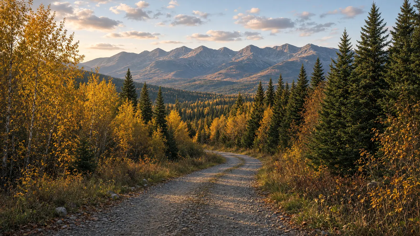
Coos County rides differently because the distances are remote, the surfaces change quickly, and the most useful corridors are a mix of state rail trails, shared motorized routes, dirt roads, and quiet public pavement. The White Mountains north country gives you mountain views without turning every outing into a summit attempt.
This guide separates verified named routes from broader context. It does not turn hiking trails into bike routes, and it does not pretend that an OHRV network is one neat loop. Start with access rules, plan your battery and surface, and confirm current conditions.
Where to ride an eBike in Coos County
The main rail-trail choice is the Presidential Recreational Rail Trail between the Cherry Pond and Whitefield-Jefferson area and Gorham. The Upper Coos Recreational Rail Trail starts in Colebrook and heads north to Beecher Falls. Around Gorham, the Cross New Hampshire Adventure Trail plan links the rail-trail context to Hogan Road and then North Road, but those are different surfaces and different riding experiences. In Lancaster, Weeks State Park offers a short, narrow auto road where bikes are allowed.
For official access information, use NH State Parks recreational rail trails, the Cross New Hampshire Adventure Trail site, and the NH State Parks biking rules. Moose Brook State Park near Gorham has 11.6 miles of varied park terrain connecting back to Berry Farm Road, but that is a network, not a single named route below. Jericho Mountain State Park has a 75-mile OHRV network, also shared motorized context rather than an invented loop.
eBike shop hubs in Coos County
Use the internal city hubs for local service and the exact listing cards. eBike shops in Berlin are the nearest verified pair for the Berlin and Jericho area. eBike shops in Colebrook put The Spoke n Word near the Upper Coos starting area. eBike shops in Dalton provides another verified repair listing in the southern county. The Coos County eBike shop directory keeps all four cards together.
Rental shops
No verified rental listing is on file for Coos County. Do not assume a sales or repair shop rents eBikes. Contact the four verified shops directly about current service or availability before building a trip around a rental.
Named eBike routes in Coos County
These five named routes have published distances in the supplied state or xNHAT sources. Surface and access vary substantially.
1. Presidential Recreational Rail Trail -- 18.3 miles
Start near Cherry Pond and Whitefield-Jefferson, with the east end in Gorham. This cinder, crushed stone, dirt, grass, gravel, and sand rail trail follows the former railroad corridor, passing the Pondicherry and Cherry Pond area and views toward the Presidential Range. NH State Parks publishes 18.3 miles, while its dedicated page rounds the distance to 18 miles. Yield to pedestrians, equestrians, and anglers; announce passes. Summer use is largely non-motorized on west and central sections. Winter OHRV use is limited to the Gorham to Route 115A section, and OHRVs are not allowed on the Conte refuge and Pondicherry area. Use the NH State Parks rail-trail listing and Presidential Rail Trail page for current notices.
2. Upper Coos Recreational Rail Trail -- 10.5 miles
Start in Colebrook, near The Spoke n Word, and ride north along the Connecticut River to Beecher Falls near the Canadian border, passing Stewartstown. The surface is ballast and cinder. NH State Parks lists motorized use except during mud season, and TrailLink confirms the 10.5-mile length and endpoints. This is a shared corridor, not a paved path. Yield to OHRVs, horses, hikers, and oncoming riders, keep speed controlled, and choose tires that can handle loose ballast. Check NH State Parks recreational rail trails and TrailLink Upper Coos page.
3. Hogan Road -- 5.4 miles
This named xNHAT dirt-road segment starts after you exit the Presidential Rail Trail east of Gorham, following the power-canal wooden bridge area toward North Road on the north side of the Androscoggin. It is dirt and rubbly forest road with potholes, loose rock, occasional cars, jeeps, and ATVs. A damaged section can require a short walk-bike. Ride a fat-tire or mountain-style eBike, listen for vehicles, and yield early. Hogan Road is distinct from the rail trail, not a slice of it. See the Cross New Hampshire Adventure Trail plan.
4. North Road -- 18 miles
The xNHAT plan publishes 18 miles from the Gorham and Shelburne river valley toward Bethel, Maine. Start after the Hogan Road connection and continue on a quiet, shady paved back road with rolling terrain and some short steeper climbs. The published 18 miles continues into Maine, so it is not a Coos-only subtotal. This is a public road with mixed traffic, not a rail trail. Ride with traffic, single file, use lights, and yield. A road bike is workable here, but an eBike helps on the climbs and return. See the xNHAT plan page.
5. Weeks State Park Auto Road -- 1.6 miles
In Lancaster, the narrow, winding park road climbs 1.6 miles at Weeks State Park. Bicycles are allowed on the park road, but care is required around cars and walkers. Bicycles are not permitted on the Mount Prospect Ski Tow trails. Ride slowly, make an audible pass, and obey park signs and gate conditions. This is not the Lancaster Heritage Trail, which is not suitable for bicycles. Check the Weeks State Park page and NH State Parks biking rules.
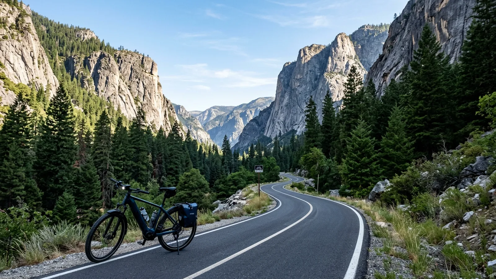
The Presidential Recreational Rail Trail is a rail corridor, not a Presidential Range hiking loop.
Half-day and full-day eBike plans
Half day, Presidential rail trail: Start at a verified parking area near Gorham, Randolph, Whitefield, or Airport Road as conditions allow. Ride a measured out-and-back on the 18.3-mile corridor rather than assuming you need to cover its full length. Bring water, layers, repair supplies, and a charged phone. Pause at viewpoints and wildlife areas without leaving the rail bed. A path-ready fat-tire eBike is a better match for cinder and loose gravel than skinny road tires.
Half day, Upper Coos: Base in Colebrook, check the mud-season status, and ride north toward Stewartstown and Beecher Falls. Turn around based on battery, weather, and shared-traffic comfort. Keep the day flexible because ballast and OHRV traffic can make a 10.5-mile corridor feel more demanding than its length suggests.
Full day, Gorham to North Road: Treat Hogan Road and North Road as a surface-changing outing. Start only with a capable bike and experience on rough dirt. Exit the Presidential Rail Trail before Hogan Road, negotiate the 5.4-mile dirt segment, then continue onto the paved North Road toward the 18-mile published route toward Bethel, Maine. The distance continues across the state line, so plan a turnaround instead of labeling it a Coos-only ride.
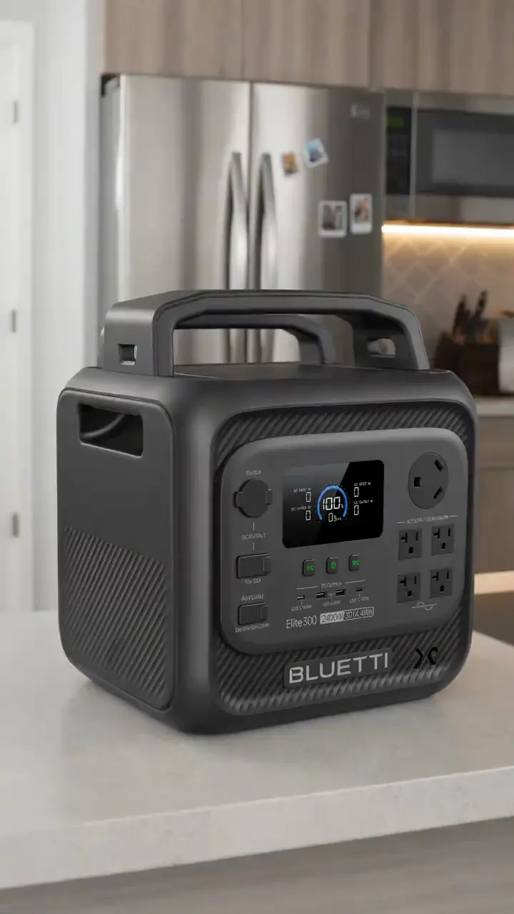
Full day, Lancaster and north-country add-on: Ride the 1.6-mile Weeks State Park Auto Road during an allowed opening, carefully sharing the narrow pavement. Do not add the prohibited ski-tow trails or Lancaster Heritage Trail. Pair the short climb with a separate, verified route only after checking drive time, parking, battery, and weather. A portable power station for an eBike day trip can be useful where charging access is limited, but it does not replace route planning.
What not to ride
Do not turn the Presidential Range hiking trails, Appalachian Trail, Caps Ridge, Castle Trail, or hut-to-hut routes into eBike itineraries. Those are hiking contexts, not the Presidential Recreational Rail Trail. Do not ride Pondicherry foot trails to viewing platforms as if they were bike routes; use the rail bed and walk where signs require it.
Skip the Lancaster Heritage Trail and Town Forest Loop for bicycle riding because the town information says bicycles are not permitted or the surfaces are not suitable. Do not invent a 28-mile Androscoggin bike corridor, an 18-mile Connecticut Lakes perimeter, or a 12-mile Dixville Notch loop. NH 16, NH 26, and US 3 are mixed-traffic highway context for the Moose Path scenic byway, without one reliable loop mileage. Jericho and Moose Brook figures describe networks, not family out-and-backs.
When to ride Coos County
June through October is the most practical season for the named routes. Summer brings longer daylight and generally better access, but shared corridors can be busy and mountain weather can change quickly. September and early October are especially attractive for foliage. Start early on exposed roads, carry layers, and do not treat a cool forecast in the valleys as a guarantee at higher elevations.
Spring requires extra caution. The Upper Coos trail has a mud-season motorized restriction in the official listing, and wet dirt on Hogan Road can be slow and damaging. Winter OHRV rules on the Presidential corridor are specific: the winter OHRV section is Gorham to Route 115A, while OHRVs are not allowed on the Conte refuge and Pondicherry area. Check property notices before every departure.
New Hampshire eBike regulations snapshot
RSA 265:144-a gives eBikes bicycle rights and duties and does not treat them as motor vehicles for license, registration, insurance, or OHRV plates. Class 1 and Class 2 may be ridden on bicycle or multi-use paths where bikes are permitted, unless the authority prohibits them. Class 3 may not be ridden on those paths unless the path is within or adjacent to a highway or the jurisdiction permits Class 3. Riders under 16 may not operate Class 3; under-18 Class 3 riders must wear a CPSC or ASTM helmet; and Class 3 must have a speedometer.
DNCR rules allow Class 1 and Class 2 on managed trails where traditional bicycles are allowed. Class 3 is permitted on Class III recreational roads, park roads, and rail trails. DNCR properties use a 20 MPH speed limit unless signed otherwise, and helmets are required under 16. Read the complete New Hampshire eBike laws guide and the official RSA text.
Frequently asked questions
What are the five named eBike routes in Coos County?
The five routes are the 18.3-mile Presidential Recreational Rail Trail, 10.5-mile Upper Coos Recreational Rail Trail, 5.4-mile Hogan Road segment, 18-mile North Road ride toward Bethel, Maine, and 1.6-mile Weeks State Park Auto Road.
Is the Presidential Recreational Rail Trail a hiking loop?
No. It is a rail trail beginning near Cherry Pond and Whitefield-Jefferson and ending in Gorham. It is not a Presidential Range hiking loop, hut-to-hut route, or Appalachian Trail ride.
Can eBikes use the Upper Coos Recreational Rail Trail?
The Upper Coos Recreational Rail Trail is a shared corridor with motorized use except during mud season. Riders should yield to OHRVs and other users and use suitable tires for ballast and cinder.
Where can I rent an eBike in Coos County?
No verified rental listing is currently on file for Coos County. The four verified shop cards cover sales and service, not rentals, so confirm local availability directly rather than assuming a rental counter exists.
When is the best time to ride Coos County?
June through October is the practical riding window. September and early October bring fall color, while spring mud season can affect shared motorized rail trails. Check current conditions and property notices before leaving.
What are the New Hampshire eBike class rules?
Class 1 and Class 2 eBikes may be used where bicycles are permitted unless a jurisdiction prohibits them. Class 3 bikes need a speedometer, are not allowed on bicycle or multi-use paths except in the situations allowed by law, and riders under 16 may not operate them.
All eBike shops in Coos County
Browse the four verified listings by city: Northeast Custom EBikes, Crooker Cycle Sports, The Spoke 'n' Word: Bicycle Repair and Advice, and J R's Cycle Repair. For the full cards, addresses, phones, and claim links, visit the Coos County eBike shop directory.