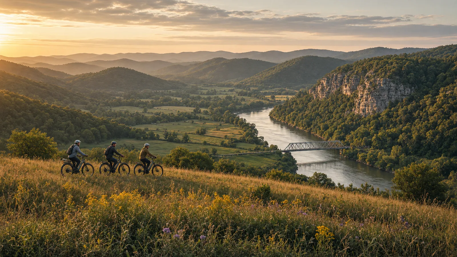
Things To Do on an eBike in Taney County, MO
Taney County is not one trail network. It is a set of separate land managers, and each one writes its own rules for bicycles. A city runs the paved Roark Creek Trail. A state park runs the Lakeshore Trail and the White River Valley loops. The Missouri Department of Conservation runs the Ruth and Paul Henning Conservation Area, where bicycles are not allowed on the trails at all. This guide sorts the county by who manages what, so you know which rule to check before you ride.
Everything below comes from the managers' own pages. Where a page does not state an e-bike rule, we say so and send you to the posted signs. For the county-wide law summary, read our Missouri eBike laws guide. For city-only detail on shops and streets, see eBike shops in Branson.
Where to ride in Taney County
The county-wide picture is simple. There are two short, published, bike-friendly corridors: the Roark Creek Trail, which the City of Branson publishes, and the Table Rock Lakeshore Trail, which lists bicycling as an allowed use. Next to those sits the White River Valley Trail System in Table Rock State Park, a loop system open to hiking and mountain biking. Then there is a place that looks like riding country but is not: the Ruth and Paul Henning Conservation Area, which bars bicycles from its trails and closes its service roads to bicycle use year-round.
That mix matters for an e-bike. A paved, ADA accessible city trail and a park loop system are different products. The first is a low-effort outing. The second is a mountain biking trail system, and the source we reviewed does not say whether e-bikes are welcome on it. Treat the loops as a question for the park office, not as a given.
One more county-level point: the directory lists the Taney County shops under Branson. No other Taney County town has a listing on this site, so riders staying elsewhere in the county should plan to travel to Branson for rentals and service. We have no verified shop to point to in any other town, and we will not guess at one. Read the source pages linked in each route below, because the managers can change hours, closures, and rules without notice.
eBike shop hubs
Use the city directory for addresses, phone numbers, detail pages, and claim links. A directory page is a contact index, not proof of current rental stock or trail access. The county's shops are grouped in one city.
Rental and tour contacts
Two existing cards are categorized as rental contacts. They are listed after the FAQ below. Call before you plan around inventory, delivery, or trail permission, because a card does not show today's stock. Ask any rental business which trails it allows its bikes on, since the managers of the Table Rock loops and the conservation area set their own bicycle rules.
Named eBike routes and access checks
1. Roark Creek Trail (about 3.2 miles, 2.7 paved)
The trail follows Roark Creek from Lake Taneycomo up through the Roark Creek Valley in Branson. The City of Branson publishes North Beach Park, 490 Branson Landing Blvd, Branson, MO 65616, as the parking and trailhead. The trail is approximately 3.2 miles long, with 2.7 miles paved and ADA accessible. The city page excerpt we reviewed lists park hours and trail details but does not state an e-bike class limit or a path speed limit, so the state default applies and posted signs win. It also did not list a 2025-2026 construction closure. Etiquette: the paved part is accessible to wheelchair users, so ride at a speed that lets you stop, and slow down around walkers. Source: City of Branson, Roark Creek Trail.
2. Table Rock Lakeshore Trail (2.7 miles)
The trail starts at the Dewey Short Visitors Center and ends at the State Park Marina. It is 2.7 miles long and 8 feet wide. The listing names bicycling, swimming, dogs off leash, and hiking/walking as allowed uses. It does not state an e-bike class rule, so follow the state default and any signs at the trailhead. Etiquette: with dogs off leash and walkers sharing an 8 foot width, keep your speed low and be ready to stop. Source: Table Rock Lakeshore Trail listing. Note that other trail sites may list a different length for this trail, so treat 2.7 miles as the figure from this listing and check the park if distance matters for your battery.
3. White River Valley Red Loop (2.90 miles)
The Red Loop is part of the White River Valley Trail System in Table Rock State Park, a loop system open to hiking and mountain biking. Trailhead Q is at the red loop, 400 feet west of the park office on the north side of Highway 165. The trail map we reviewed does not state surface type or an e-bike rule, so ask the park office before you bring a motor onto a mountain biking trail. Etiquette: a shared hiking and biking loop needs a controlled pace and a clear call when you pass. Source: White River Valley Trail System map.
4. White River Valley Blue Loop (3.50 miles)
The Blue Loop is the other published loop in the White River Valley Trail System, listed at 3.50 miles. The same trail map is our only source. It names Trailhead Q at the red loop, and we have no separate trailhead for the blue loop, so use the published map to see how the loops connect. The map does not state surface type or an e-bike rule. Treat it like the Red Loop: hiking and mountain biking are listed uses, and an e-bike needs the park's answer first. Etiquette is the same as on the Red Loop. Source: White River Valley Trail System map.
Walk only: Homesteaders Trail, Ruth and Paul Henning Conservation Area (3.4 miles, no bicycles)
This is the one route here that you walk. The Homesteaders Trail is 3.4 miles and features 14 informational stops. The Missouri Department of Conservation states that horses and bicycles are not allowed on the area's trails, and that service roads are closed to bicycle use year-round. The area has 5.6 miles of hiking trails, a scenic overlook, and a lookout tower. The start point is not given in the text we reviewed, so use the area's page for access details. Leave the e-bike at the vehicle and hike it. Source: MDC, Ruth and Paul Henning Conservation Area.
Half-day and full-day eBike plans
Half day, Branson side: Ride the Roark Creek Trail from North Beach Park. It is approximately 3.2 miles long, with 2.7 miles paved. Check the City of Branson page for park hours before you go.
Half day, Table Rock side: Ride the 2.7 mile Table Rock Lakeshore Trail between the Dewey Short Visitors Center and the State Park Marina. If you want a loop, call the park office about e-bikes on the White River Valley Red Loop, which is 2.90 miles from Trailhead Q.
Full day: Combine the Roark Creek Trail and the Lakeshore Trail as two separate rides. Add a White River Valley loop only if the park office confirms e-bikes are allowed there. Add the Homesteaders Trail on foot, because bicycles are not allowed at the Ruth and Paul Henning Conservation Area. Rent or service your bike through the Branson contacts below before you set out.
What not to ride in Taney County
Ruth and Paul Henning Conservation Area trails and service roads. Bicycles are not allowed on the trails, and service roads are closed to bicycle use year-round. Missouri Department of Conservation rule 3CSR 10-11 130 allows bicycles, including electric bicycles as defined in the Missouri Wildlife Code, on roads open to vehicular traffic and on service roads unless otherwise posted. The same rule prohibits bicycle use on service roads that pass through designated natural areas. Read the sign, not the map.
Conservation land during hunting seasons without checking closures. The Missouri Department of Conservation statewide bicycling page advises riders to check for road closures, because some roads and trails are closed during hunting seasons. Source: MDC bicycling page.
The White River Valley loops on an assumption. The loop system is open to hiking and mountain biking, and the map we reviewed does not state an e-bike rule. Do not assume your class is allowed.
Any trail with a class sign you have not read. A manager can set rules narrower than the state default. For example, Ozark Greenways adopted its electric bicycle policy on July 22, 2026, and it permits Class 1 and Class 2 e-bikes on its paved greenway trails. That is one manager's policy and not a Taney County rule, but it shows why a Class 3 rider should check the sign. See Ozark Greenways rules of the trails.
When to ride Taney County
Our Missouri guide lists April through June and September through November as the best riding months across the state, and that is a fair starting point here. The sources we reviewed for the county do not give seasonal closure dates for the trails, so we cannot list them. The City of Branson page for the Roark Creek Trail did not list a 2025-2026 construction closure in the excerpt we reviewed. The Missouri Department of Conservation notes that some roads and trails close during hunting seasons, so check closures in the fall before you head for conservation land. Today is November 5, 2026, which falls in that fall window, so confirm with each manager the morning you ride.
Missouri eBike laws and route permission
Missouri uses the three-class system. Class 1 is pedal-assist with a motor that cuts off at 20 mph. Class 2 adds a throttle and is also capped at 20 mph. Class 3 is pedal-assist up to 28 mph. Class 3 operators must be at least 16, and younger passengers may ride only on a Class 3 designed for passengers. Class 3 bikes require a speedometer. No license, registration, or insurance is required for compliant Missouri eBikes. Missouri has no statewide eBike helmet mandate, but local and trail rules can still require helmets or restrict classes.
That last point is the one that shapes a Taney County day. The state sets the classes, and each manager sets its own trail rules on top. The City of Branson page for the Roark Creek Trail does not state a class limit in the excerpt we reviewed. The Table Rock Lakeshore Trail listing does not either. The White River Valley map is silent as well. Where no e-bike rule was found, the state default applies, and posted signs decide. Read the full summary in our Missouri eBike laws guide.
Frequently asked questions
How long is the Roark Creek Trail?
The Roark Creek Trail is approximately 3.2 miles long, with 2.7 miles paved and ADA accessible, according to the City of Branson.
Where do I park for the Roark Creek Trail?
The City of Branson publishes North Beach Park, 490 Branson Landing Blvd, Branson, MO 65616, as the parking and trailhead.
Can I ride an eBike on the Ruth and Paul Henning Conservation Area trails?
No. The Missouri Department of Conservation says horses and bicycles are not allowed on the trails there, and service roads are closed to bicycle use year-round.
How long is the Table Rock Lakeshore Trail?
The Table Rock Lakeshore Trail is 2.7 miles long and 8 feet wide. It starts at the Dewey Short Visitors Center and ends at the State Park Marina.
Are eBikes allowed on the White River Valley loops?
The trail map says the system is open to hiking and mountain biking and does not state an e-bike rule. Ask the park office before you ride the 2.90 mile Red Loop or the 3.50 mile Blue Loop.
Is there a helmet law for eBikes in Missouri?
Missouri has no statewide eBike helmet mandate. Local and trail rules can still require helmets or restrict classes, and Class 3 operators must be at least 16.
Where are the Taney County eBike shops?
The directory lists the Taney County shops under Branson. Riders staying in other parts of the county should plan to travel there for rentals and service.
Taney County rental contacts
Bike and Kayak Branson LLC🚲 Rentals
Bike Branson- Ebike Rentals🚲 Rentals
All eBike shops in Taney County
The complete local directory is the Taney County eBike shops and repair contacts page. This guide owns route planning; the county hub owns the full shop list.