Salina Levee Trail (nearby, Saline County)
Start from Smoky Hill River levee, Salina. The documented distance is 4.8 miles published length. Expect Asphalt. Confirm the access note before choosing this over another Ottawa County option.
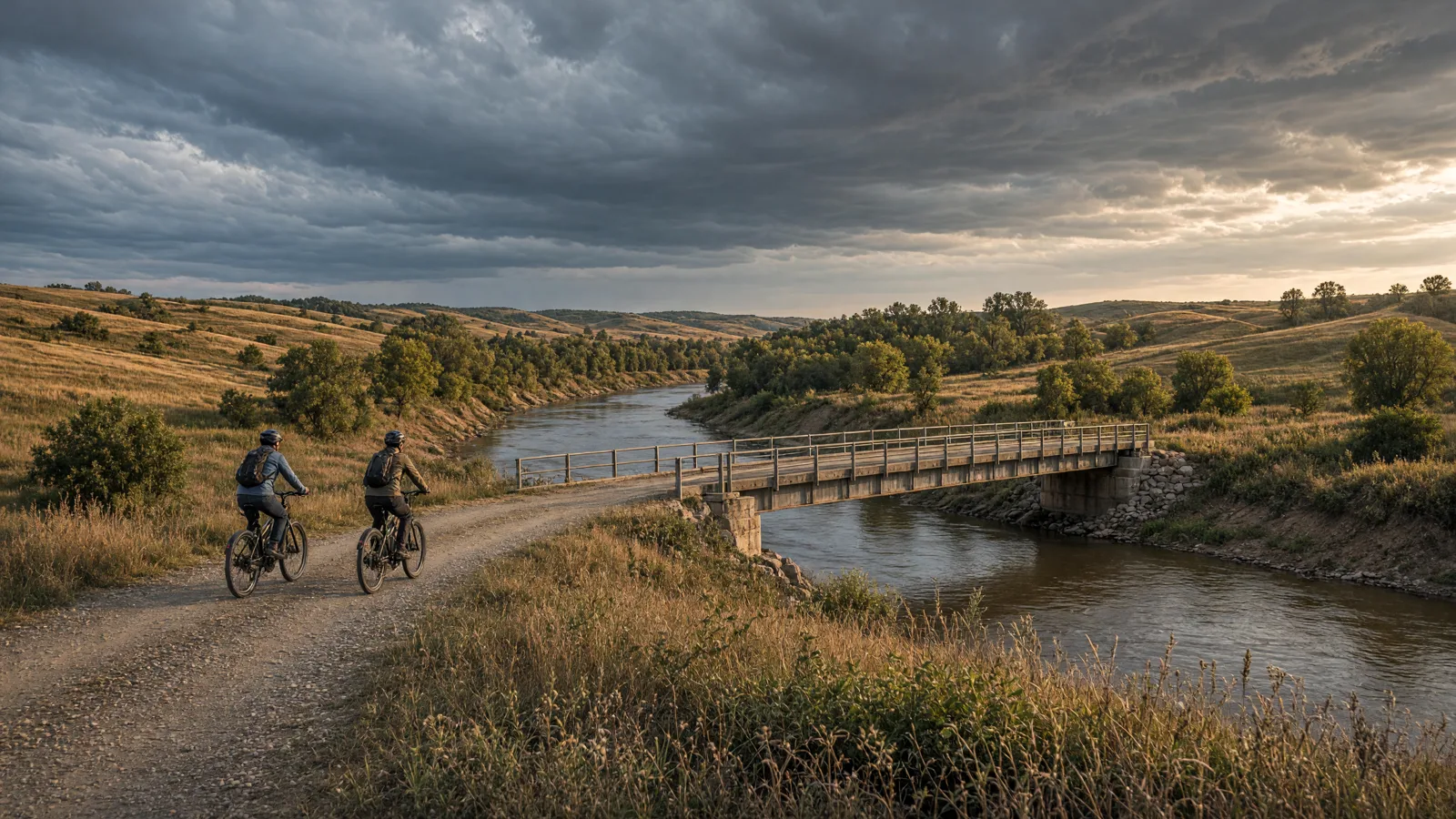
Ottawa County rides around Minneapolis. The strongest documented bicycle routes here are Minneapolis city path network, Minneapolis city path network, Minneapolis city path network, with Salina Levee Trail, Meadowlark Trail reached over the county line. Kansas law treats a Class 1, 2 or 3 electric-assisted bicycle as a bicycle, so the real question is which manager controls each surface. #OttawaKSBikeTrails
This guide separates sourced route facts from permission questions. Check the manager, the bicycle class, weather, and closures before travelling.
No single Ottawa County corridor covers the county. The routes below mix manager-listed corridors with honest access records where no mileage is published. Surfaces range from asphalt city paths to crushed-stone rail beds, and the Flint Hills corridors are exposed to wind and heat.
No single route fits every rider or every electric bicycle. Compare distance, starting point, surface, and managing authority before choosing.
Start from Smoky Hill River levee, Salina. The documented distance is 4.8 miles published length. Expect Asphalt. Confirm the access note before choosing this over another Ottawa County option.
Start from Lindsborg toward McPherson on a railbanked corridor. The documented distance is 12.4 miles published length. Expect Concrete. Confirm the access note before choosing this over another Ottawa County option.
Start from Park and trail access points in Minneapolis. The documented distance is Not published by the managing source as a measured distance, confirm at the trailhead before planning a specific mileage. Expect Paved city paths and connecting streets. Confirm the access note before choosing this over another Ottawa County option.
Start from Park and trail access points in Minneapolis. The documented distance is Not published by the managing source as a measured distance, confirm at the trailhead before planning a specific mileage. Expect Paved city paths and connecting streets. Confirm the access note before choosing this over another Ottawa County option.
Start from Park and trail access points in Minneapolis. The documented distance is Not published by the managing source as a measured distance, confirm at the trailhead before planning a specific mileage. Expect Paved city paths and connecting streets. Confirm the access note before choosing this over another Ottawa County option.
Use these city directories for addresses, phone numbers, detail pages, and claim links. A city page is a contact index, not proof of current rental stock or route access.
These cards are preserved for repair, sales, or general service enquiries. They are not presented as rental operators.
Distance: 4.8 miles published length
Start: Smoky Hill River levee, Salina
Surface and rider fit: Asphalt
eBike access: Manager-listed bicycling route. Kansas law permits Class 1 to 3 electric-assisted bicycles as bicycles, but the managing authority (state park, city, county or Corps of Engineers) can be narrower. Confirm the current notice and surface before riding.
Etiquette and planning: Documented corridor serving Saline counties. Treat the published length as the whole corridor, not a county-exclusive loop, and plan the turnaround by time and battery.
Salina Levee Trail (nearby, Saline County) official or managing-source information
Distance: 12.4 miles published length
Start: Lindsborg toward McPherson on a railbanked corridor
Surface and rider fit: Concrete
eBike access: Manager-listed bicycling route. Kansas law permits Class 1 to 3 electric-assisted bicycles as bicycles, but the managing authority (state park, city, county or Corps of Engineers) can be narrower. Confirm the current notice and surface before riding.
Etiquette and planning: Documented corridor serving Mcpherson counties. Treat the published length as the whole corridor, not a county-exclusive loop, and plan the turnaround by time and battery.
Meadowlark Trail (nearby, McPherson County) official or managing-source information
Distance: Not published by the managing source as a measured distance, confirm at the trailhead before planning a specific mileage
Start: Park and trail access points in Minneapolis
Surface and rider fit: Paved city paths and connecting streets
eBike access: City paths are generally open to bicycles. Confirm local electric-bicycle rules and any posted closures before riding.
Etiquette and planning: Local path network recorded as an access lead rather than a measured route. Use the linked city listing for the mapped paths.
Minneapolis city path network official or managing-source information
Half day: start with Salina Levee Trail (nearby, Saline County) from Smoky Hill River levee, Salina and turn around at half your comfortable range.
Full day: combine Meadowlark Trail (nearby, McPherson County) with Minneapolis city path network only if the weather, surface and battery reserve support both, and keep the third as a fallback.
For a route day in Ottawa County, carry water, a charged phone, the managing source, and only the tools you know how to use. A portable power station for a Ottawa County trailhead base is an optional charging accessory, not permission to plug in or a substitute for conservative range planning. Build the Ottawa County return around the battery already on the bike; never assume a public trailhead outlet is available.
A useful Ottawa County plan starts with one documented route, not a list of pins. Compare Salina Levee Trail (nearby, Saline County), Meadowlark Trail (nearby, McPherson County), and Minneapolis city path network by start point and surface. Put the longest or least certain option first only when weather, daylight, and battery reserve support it. Otherwise, choose the shorter confirmed outing and keep the second route as a true fallback.
Use Bennington as the first service hub because it is represented by an existing directory card. Call about repairs or rentals before driving. A shop cannot override a park, trail authority, road closure, or private owner. Keep the manager’s source open on the same phone that holds the route and emergency contacts.
For each of the five Ottawa County entries above, note whether the mileage is a loop, one way, or chosen by turnaround. Then budget the full return. Surface, elevation, temperature, wind, rider weight, assist level, and tire pressure all change consumption. Leave enough reserve to return without searching for an outlet. If the published information is incomplete, shorten this county ride rather than converting uncertainty into a precise claim.
Do not ride a Ottawa County rail corridor or levee during flooding, and do not assume a converted rail bed is paved. Avoid the Flint Hills corridors at midday in July and August, and do not treat a nearby-county route as a local loop.
April through June and September through October are the best Ottawa County months for a long ride. Summer riding works early or late, and winter city paths depend on whether the city has cleared snow and ice.
K.S.A. 8-1489 defines an electric-assisted bicycle as a bicycle with two or three wheels, a saddle, fully operative pedals for human propulsion, and an electric motor of less than 750 watts. Class 1 assists only while the rider pedals and stops assisting at 20 mph. Class 2 may propel the bicycle by motor alone and stops assisting at 20 mph. Class 3 assists only while pedaling and stops assisting at 28 mph.
K.S.A. 8-1592b gives an electric-assisted bicycle and its rider the rights and duties of a bicycle, and states that an electric-assisted bicycle is a vehicle to the same extent as a bicycle. Kansas does not require vehicle liability insurance, a driver’s license, registration, a certificate of title, or a license plate for an electric-assisted bicycle, and it is not treated as a motor vehicle. Manufacturers and distributors must affix a permanent class label. Local and land-manager rules still govern where you may ride.
K.S.A. 8-1592 covers bicycle equipment: a front lamp visible for 500 feet and a rear reflector or light for use between sunset and sunrise, plus working brakes. State parks, cities, counties, the U.S. Army Corps of Engineers, and trail authorities can each set narrower rules, so check the manager of the exact route. Read the Kansas eBike laws guide before a long ride.
Planning a Ottawa ride means choosing between 2 routes with a published length and 3 access records where no manager publishes mileage. The surfaces here are asphalt, concrete, paved city paths and connecting streets. Start the day with Salina Levee Trail and confirm its current notice before driving, because a converted rail bed, a levee path and a city trail all carry different rules and different conditions after rain. If the wind, the heat or the battery reserve is against you, shorten to the shortest confirmed option on this page rather than committing to the full corridor, and keep one route in reserve for a second visit.
Start with Salina Levee Trail (nearby, Saline County). Its documented start is Smoky Hill River levee, Salina. Check the linked manager information, current closures, and your bicycle class before travelling.
No. Kansas law distinguishes Class 1, Class 2, and Class 3 use, while federal, state, municipal, and private managers can apply route-specific rules. A bicycle symbol is not universal electric-bicycle permission.
K.S.A. §8-1592b requires operators and passengers under 15 to wear a properly fitted and fastened bicycle helmet. Adults should wear helmets too, but that safety advice is not a statewide all-adult mandate.
No. A directory card is a contact lead. Call with the date, rider height, bike brand, motor system, and intended route. Ask the business to confirm the exact rental, diagnostic, or repair service before travelling.
Use the full return distance for Salina Levee Trail (nearby, Saline County) or the chosen alternative, not a best-case manufacturer range. Include elevation, surface, weather, detours, and the least confident rider in the plan.
Turn around and follow the manager’s closure notice. Do not bypass barriers or cross private property. Choose a separately confirmed route rather than inventing a connection on the ground.
The complete local directory is the Ottawa County eBike shops and repair contacts page. This guide owns route planning; the county hub owns the full shop list.