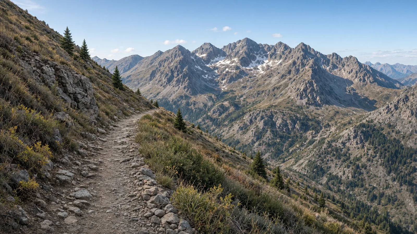
Things To Do on an eBike in Montrose County, CO
Montrose County riding comes down to three kinds of surface: city concrete, single-track, and one very long county road route. The City of Montrose lists 36 miles of concrete trails, 13 miles of single-track hiking and biking trails, and a bike park. What changed most recently is the rulebook. Montrose Ordinance No. 2726 was adopted on second reading on August 18, 2026, and it covers park speed limits, off-trail riding, and e-bike classes on city property. This guide uses only sourced figures, and where a source gives no distance, trailhead, or e-bike rule, we say so instead of guessing.
Shop in Montrose or Naturita, then read the Colorado eBike laws guide and the city rules below before you pick a trail.
Where to ride in Montrose County
The easiest riding in the county is on city concrete. The City of Montrose reports 36 miles of concrete trails and 13 miles of single-track hiking and biking trails, plus a bike park. The newest concrete is the Uncompahgre River Trail, where the city built a total of 2.25 miles of 10 foot concrete trail under the GOCO Connect Initiative grant. The Montrose Recreation District page for the trail also says the project created two underpasses, so trail users no longer have to cross Townsend Avenue (U.S. Hwy 550) or Main Street (State Hwy 90). For an e-bike rider that matters, because the two busiest crossings in town are removed from the ride.
Great Outdoors Colorado also provided grant funding, in partnership with the City of Montrose, to prepare a master plan for ten miles of the Uncompahgre River. The Uncompahgre Riverway Master Plan is a planning document. Do not read it as ten miles of finished trail, and use the Recreation District page above for what has been built.
West of town, the BLM manages the Buzzard Gulch Trail System, just west of Montrose at elevations from 6,200 to 6,800 feet. The BLM categorizes it as Non-Motorized Single Track, meaning routes 36 inches wide or less intended for mechanized modes of transportation such as mountain bikes, as well as foot and horse travel. Spring Canyon Trailhead provides the best access, and the system can also be reached from the Lower Spring Creek Trailhead along Dave Wood Road. The BLM page we used does not say whether e-bikes are allowed, so we do not give Buzzard Gulch its own route entry. Check with the BLM before you bring a motor.
The local mountain bike association, COPMOBA, describes more riding on its Montrose page. It lists a seasonal closure on the Electric Hills trail system from December 1 to April 15. It describes Peach Valley and Sidewinder as over 20 miles of desert technical riding on motorized singletrack. It also mentions the Tabeguache Trail, a historic route connecting Grand Junction and Montrose that includes several motorized and non-motorized sections. Finally, the Rimrocker Trail is a 106.1 mile route that crosses the county on roads.
Those are the sourced pieces. A good first day stays on the river trail, because the city has published both the surface and the e-bike rules for it.
eBike shop hubs
Use these city directories for addresses, phone numbers, detail pages, and claim links. Directory data groups the shops on the county hub under Montrose and Naturita. A city page is a contact index, not proof of current stock or trail access. For the full list, use the county hub for electric bike repair near Montrose County.
Named eBike routes and access checks
1. Uncompahgre River Trail, south end (2.25 miles of new concrete built across the project)
Start and route: The south end extends from the Montrose Community Recreation Center to the Woodgate Road roundabout, then behind the post office and City Market along the north side of the Dry Cedar Creek arroyo. The source gives 2.25 miles as the total the city constructed for the project, not a separate south end length, so treat it as the project figure.
Surface: The city built this as 10 foot concrete trail. A trail that wide gives room to pass, which helps on a shared path.
E-bike rule: The city's e-bike regulations page sets a 15 mph speed limit for bicycles, e-bikes, and other motorized vehicles on any sidewalk, pedestrian or multi-use path, or trail within the city park system. It says Class 3 e-bikes are not permitted on sidewalks, park paths, or city trails, and a classless electrical-assisted vehicle is not allowed on public streets, sidewalks, trails, parks, or other city property. Class 1 and Class 2 are the classes that fit the path rules.
Etiquette: Hold the 15 mph limit even when the trail looks empty, and slow down near the roundabout and the shopping area behind the post office and City Market. Keep to the trail edge when you stop, and pass walkers with a clear call.
2. Uncompahgre River Trail, north end (about 1.5 miles of new trail)
Start and route: Approximately 1.5 miles of new trail on the north end connects to the River Trail at the West Main Trailhead and proceeds north along the river to the Montrose Urban Renewal Authority and Colorado Outdoors development.
Surface: The source gives the project total as 2.25 miles of 10 foot concrete. It does not say how the 1.5 mile north end figure relates to that total, so do not add the two numbers together, and confirm the surface on site.
Etiquette: The route follows the river, so expect walkers and families near the development at the north end. Keep your speed down there, and do not cut across landscaped areas, since off-trail riding in city parks and green spaces is off-limits.
3. Rimrocker Trail (106.1 miles)
Start and route: The state trails page lists the Rimrocker Trail at 106.1 miles, with an elevation range of 4,776 to 9,951 feet. We have no trailhead we can publish for it, so read the source page for the start before you plan a section.
Surface: The source lists 93 miles of unpaved road, 12 miles of asphalt, and 1.1 miles of paved road. Most of the length is unpaved, so tire choice and flat repair matter more than motor size.
E-bike rule: The sources we used give no e-bike rule for the Rimrocker Trail. Managers differ by section: the County of Montrose for 65 miles, USFS Ouray Ranger District for 19 miles, USFS Norwood Ranger District for 17 miles, and other for 5.25 miles. Check the posted notice for the section you ride and do not assume one rule covers every manager.
Etiquette: Choose a section, not the whole route, and plan the return for both distance and the elevation spread. Tell someone where you are going, because the higher sections are far from town.
4. Montrose city single-track trails (13 miles)
Start and route: The city lists 13 miles of single-track hiking and biking trails and a bike park on its parks, trails and sports facilities page. The page we used does not name individual trails or trailheads here, so ask the city or check the signs at the parking area.
Surface: Single-track, so narrower than the concrete trail and shared with hikers.
E-bike rule: The city's rules put a 15 mph limit on trails in the city park system, keep Class 3 off city trails, and state that off-trail riding in city parks and green spaces is strictly off-limits. Montrose Ordinance No. 2726, adopted August 18, 2026, is the source of the park speed limit and off-trail language.
5. Peach Valley and Sidewinder (over 20 miles)
Start and route: COPMOBA's Montrose page describes Peach Valley and Sidewinder as over 20 miles of desert technical riding. It gives no trailhead in the text we used, so confirm the start with the land manager.
Surface: Desert singletrack, described as technical and as motorized singletrack.
Etiquette: Technical desert riding is a bad place for a heavy bike and a tired rider. Keep a battery reserve for the way back, and give way on narrow sections.
Half-day and full-day eBike plans
Half day, river trail south end: Start at the Montrose Community Recreation Center and ride the south end to the Woodgate Road roundabout, then behind the post office and City Market along the north side of the Dry Cedar Creek arroyo. Hold 15 mph, and turn around where your battery plan says to, not where the concrete ends. Use Class 1 or Class 2, because Class 3 is not permitted on city trails.
Half day, river trail north end: Start at the West Main Trailhead and ride north along the river to the Montrose Urban Renewal Authority and Colorado Outdoors development, about 1.5 miles of new trail. This is a short ride, so it suits a first outing or a family with mixed ability.
Full day, river trail plus city single-track: Ride the south end and the north end of the river trail, which connect at the West Main Trailhead. Then ride some of the city's 13 miles of single-track, if your bike's class is allowed on those trails. Stay on the marked tread, keep to 15 mph, and finish with a battery reserve. Skip Buzzard Gulch and Peach Valley on this plan unless you have confirmed the e-bike rule with the BLM or the land manager.
Before any route day, check the battery, tire pressure, and brakes, and carry water and a charged phone. Put the manager's rule page open on your phone, since a shop or a guide cannot override a land manager or the city. If a sign contradicts this page, follow the sign.
What not to ride in Montrose County
Class 3 e-bikes on city trails. Montrose does not permit Class 3 on sidewalks, park paths, or city trails. They must stay on roads, alleys, designated street bike lanes, or areas specifically designated for their use.
A classless electrical-assisted vehicle on city property. The city says these are not allowed on public streets, sidewalks, trails, parks, or other city property. If your bike has no class label, it is a question for the shop or the manufacturer before you ride it in town.
Off the trail in a city park or green space. The city calls off-trail riding strictly off-limits, so no shortcuts across grass and no new lines beside the tread.
Electric Hills from December 1 to April 15. COPMOBA lists a seasonal closure for that trail system.
Buzzard Gulch with a motor, unless confirmed. The BLM classifies it as Non-Motorized Single Track and the page we used does not address e-bikes, so ask the BLM first.
The Rimrocker Trail as a single outing. It is 106.1 miles with 93 miles of unpaved road and several managers, so ride a planned section, not the whole route.
When to ride Montrose County
We found no sourced riding season for Montrose County, so we do not give one. The state guide's April through October window is written for the Front Range and should not be copied here. The one dated item for Montrose is the Electric Hills closure from December 1 to April 15, so plan that system for the other months and check for updates before you go.
The elevation spread is the other planning factor. Buzzard Gulch sits at 6,200 to 6,800 feet, while the Rimrocker Trail ranges from 4,776 to 9,951 feet. Conditions at the top of that range can differ a lot from the valley, so check the manager's current notice for the section you plan to ride. Recent city rules also matter: Ordinance No. 2726 was adopted August 18, 2026, so older advice about e-bikes on city trails may be out of date.
Colorado eBike laws and Montrose rules
At the state level, Colorado uses the three-class system. Class 1 and Class 2 assist to 20 mph and Class 3 assists to 28 mph. The state guide says Class 3 is excluded from bicycle and pedestrian paths unless a local authority permits it, and Montrose is a local authority that has said no on city trails. Our Colorado eBike laws guide covers age, helmet, and equipment details.
The City of Montrose defines Class 1 as assisting only when the rider is pedaling, up to 20 mph, and Class 2 as assisting regardless of pedaling, but only up to 20 mph. It defines Class 3 as assisting only when the rider is pedaling, up to 28 mph. On any sidewalk, pedestrian or multi-use path, or trail within the city park system, the limit is 15 mph for bicycles, e-bikes, and other motorized vehicles.
The city rules are on the e-bike regulations page. The ordinance is recorded in the public notice: Ordinance No. 2726 was introduced, read, and adopted on second reading on August 18, 2026. It adds Title 9 Chapter 10 Section 3 on park speed limits and off trail riding, amends Title 10 Chapter 1 Section 4, and adds Title 10 Chapter 1 Section 15.5 on electrical-assisted bicycles and classless electrical-assisted vehicles. Outside city property, the manager of the route sets the rule, so check the posted notice.
Frequently asked questions
Where is the newest paved eBike trail in Montrose?
The Uncompahgre River Trail. The City of Montrose constructed a total of 2.25 miles of 10 foot concrete trail under the GOCO Connect Initiative grant. The south end runs from the Montrose Community Recreation Center to the Woodgate Road roundabout, and the north end of about 1.5 miles starts at the West Main Trailhead.
What speed limit applies on Montrose city trails?
The city sets a 15 mph speed limit for bicycles, e-bikes, and other motorized vehicles on any sidewalk, pedestrian or multi-use path, or trail within the city park system.
Can I ride a Class 3 eBike on Montrose city trails?
No. In Montrose, Class 3 e-bikes are not permitted on sidewalks, park paths, or city trails and must stick to roads, alleys, designated street bike lanes, or areas specifically designated for their use.
Can I ride off the trail in Montrose city parks?
No. Off-trail riding in Montrose city parks and green spaces is strictly off-limits.
When is the Electric Hills trail system closed?
COPMOBA lists a seasonal closure for the Electric Hills trail system from December 1 to April 15.
How long is the Rimrocker Trail and what is the surface?
The Rimrocker Trail is 106.1 miles long. The surface is unpaved road for 93 miles, asphalt for 12 miles, and paved road for 1.1 miles. Several managers share it, so check the posted notice for the section you ride.
Where can I rent an eBike in Montrose County?
The directory has one rental card, Top Edge Rentals in Montrose, listed below the FAQ. A card is a contact lead, not proof of stock, so call before you plan a ride around it.
Rental and tour contacts
The directory has 1 card categorized as a rental contact. Call before planning around inventory or trail permission.
All eBike shops in Montrose County
The complete local directory is the Montrose County eBike shops and repair contacts page. This guide owns route planning; the county hub owns the full shop list.