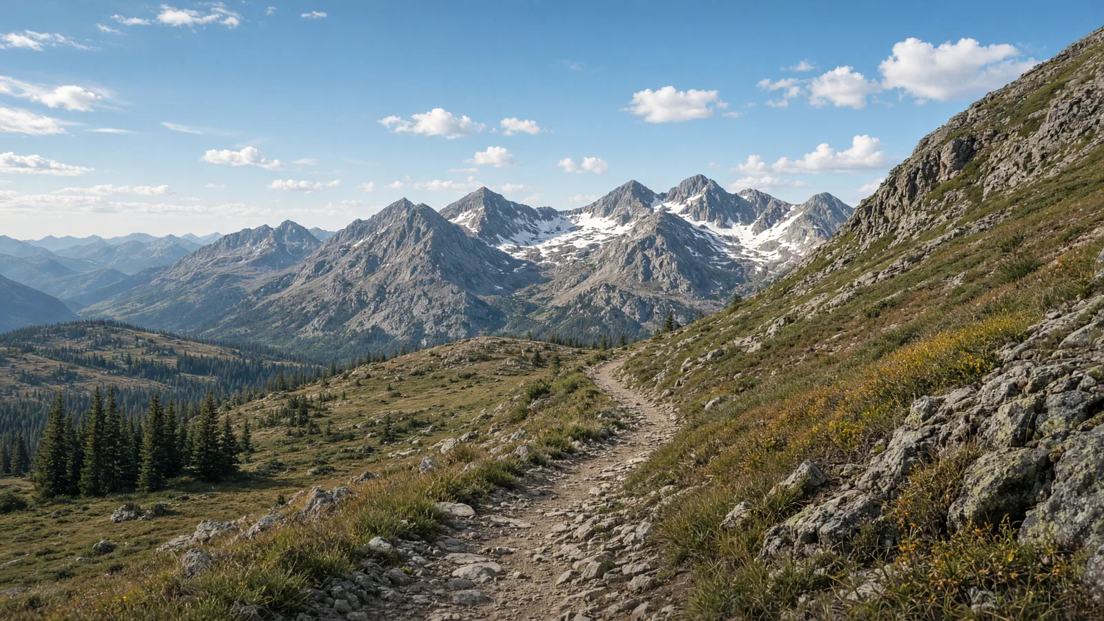
Fraser River Trail
Start from Zerex St. (Fraser) and Trademark Dr. (Winter Park). The documented distance is 6.3 miles published length. Expect Asphalt, Crushed Stone. Confirm the access note before choosing this over another Grand County option.
Grand County rides around Hot Sulphur Springs. The strongest documented bicycle routes here are Fraser River Trail. Nearby-county and regional options are labelled as such, because they are not local loops. C.R.S. 42-1-102(28.5) sorts electrical assisted bicycles into three classes, so the real question is which manager controls each surface. #GrandCOBikeTrails
This guide separates sourced route facts from permission questions. Check the manager, the bicycle class, weather, and closures before travelling.
No single Grand County corridor covers the county. The routes below mix published lengths from each trail's own manager listing with honest access records where no named measured route was located. Surfaces range from asphalt city paths to crushed-stone and ballast rail beds. Front Range and high-plains paths face wind, hail and summer thunderstorms, mountain corridors face afternoon lightning, and high-country rail-trails stay cooler even in July, with snow lingering into June.
No single route fits every rider or every electric bicycle. Compare distance, starting point, surface, and managing authority before choosing.
Start from Zerex St. (Fraser) and Trademark Dr. (Winter Park). The documented distance is 6.3 miles published length. Expect Asphalt, Crushed Stone. Confirm the access note before choosing this over another Grand County option.
Start from US 6, just west of the Duck Pond Open Space (Dotsero) and Bridge Rd & Big Hord Rd (Vail). The documented distance is 42 miles published length. Expect Asphalt. Confirm the access note before choosing this over another Grand County option.
Start from Two Rivers Park (Glenwood Springs) and Herron Park (Aspen). The documented distance is 42 miles published length. Expect Asphalt, Concrete, Gravel. Confirm the access note before choosing this over another Grand County option.
Start from Swan Mountain Rd & Goodale Rd (Breckenridge) and just south of Sapphire Point Overlook (Swan Mountain Rd, Dillon). The documented distance is 18.1 miles published length. Expect Asphalt. Confirm the access note before choosing this over another Grand County option.
Start from Ten Mile Canyon Recpath at Copper Rd. and SR 91 (Copper Mountain) and Gore Creek Campground on Bighorn Rd. (6 miles east of Vail). The documented distance is 14.8 miles published length. Expect Asphalt. Confirm the access note before choosing this over another Grand County option.
Use these city directories for addresses, phone numbers, detail pages, and claim links. A city page is a contact index, not proof of current rental stock or route access.
These 4 existing cards are categorized as rental, tour, or outfitter contacts. Call before planning around inventory, guide availability, shuttles, or trail permission.


Distance: 6.3 miles published length
Start: Zerex St. (Fraser) and Trademark Dr. (Winter Park)
Surface and rider fit: Asphalt, Crushed Stone
eBike access: eBike access: Fraser River Trail is a manager-listed bicycling route over asphalt, crushed stone. C.R.S. 42-1-102(28.5) sorts electrical assisted bicycles into Class 1, Class 2 and Class 3, but the managing authority can be narrower, so confirm the current notice for this segment before riding it from Grand County.
Etiquette and planning: Documented corridor serving Grand counties. Treat the published length as the whole corridor, not a county-exclusive loop, and plan the turnaround by time and battery. From Grand County, treat this as a drive-in option rather than a local loop.
Distance: 42 miles published length
Start: US 6, just west of the Duck Pond Open Space (Dotsero) and Bridge Rd & Big Hord Rd (Vail)
Surface and rider fit: Asphalt
eBike access: eBike access: Eagle Valley Trail is a manager-listed bicycling route over asphalt. C.R.S. 42-1-102(28.5) sorts electrical assisted bicycles into Class 1, Class 2 and Class 3, but the managing authority can be narrower, so confirm the current notice for this segment before riding it from Grand County.
Etiquette and planning: Documented corridor in Eagle counties. Treat the published length as the whole corridor, plan the turnaround by time and battery, and allow travel time to the trailhead. From Grand County, treat this as a drive-in option rather than a local loop.
Eagle Valley Trail (regional day trip, Eagle County) official or managing-source information
Distance: 42 miles published length
Start: Two Rivers Park (Glenwood Springs) and Herron Park (Aspen)
Surface and rider fit: Asphalt, Concrete, Gravel
eBike access: eBike access: Rio Grande Trail is a manager-listed bicycling route over asphalt, concrete, gravel. C.R.S. 42-1-102(28.5) sorts electrical assisted bicycles into Class 1, Class 2 and Class 3, but the managing authority can be narrower, so confirm the current notice for this segment before riding it from Grand County.
Etiquette and planning: Documented corridor in Eagle, Garfield, Pitkin counties. Treat the published length as the whole corridor, plan the turnaround by time and battery, and allow travel time to the trailhead. From Grand County, treat this as a drive-in option rather than a local loop.
Rio Grande Trail (regional day trip, Eagle County) official or managing-source information
Distance: 18.1 miles published length
Start: Swan Mountain Rd & Goodale Rd (Breckenridge) and just south of Sapphire Point Overlook (Swan Mountain Rd, Dillon)
Surface and rider fit: Asphalt
eBike access: eBike access: Dillon Reservoir Recpath is a manager-listed bicycling route over asphalt. C.R.S. 42-1-102(28.5) sorts electrical assisted bicycles into Class 1, Class 2 and Class 3, but the managing authority can be narrower, so confirm the current notice for this segment before riding it from Grand County.
Etiquette and planning: Documented corridor in Summit counties. Treat the published length as the whole corridor, plan the turnaround by time and battery, and allow travel time to the trailhead. From Grand County, treat this as a drive-in option rather than a local loop.
Dillon Reservoir Recpath (regional day trip, Summit County) official or managing-source information
Distance: 14.8 miles published length
Start: Ten Mile Canyon Recpath at Copper Rd. and SR 91 (Copper Mountain) and Gore Creek Campground on Bighorn Rd. (6 miles east of Vail)
Surface and rider fit: Asphalt
eBike access: eBike access: Vail Pass Recpath is a manager-listed bicycling route over asphalt. C.R.S. 42-1-102(28.5) sorts electrical assisted bicycles into Class 1, Class 2 and Class 3, but the managing authority can be narrower, so confirm the current notice for this segment before riding it from Grand County.
Etiquette and planning: Documented corridor in Eagle, Summit counties. Treat the published length as the whole corridor, plan the turnaround by time and battery, and allow travel time to the trailhead. From Grand County, treat this as a drive-in option rather than a local loop.
Vail Pass Recpath (regional day trip, Eagle County) official or managing-source information
Half day: start with Fraser River Trail from Zerex St. (Fraser) and Trademark Dr. (Winter Park) and turn around at half your comfortable range.
Full day: combine Eagle Valley Trail (regional day trip, Eagle County) with Rio Grande Trail (regional day trip, Eagle County) only if the weather, surface and battery reserve support both, and keep the third as a fallback.
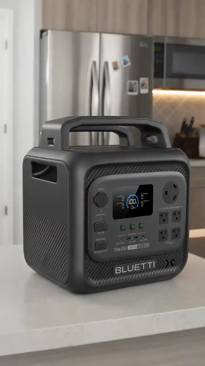
For a route day in Grand County, carry water, a charged phone, the managing source, and only the tools you know how to use. A portable power station for a Grand County trailhead base is an optional charging accessory, not permission to plug in or a substitute for conservative range planning. Build the Grand County return around the battery already on the bike; never assume a public trailhead outlet is available.
A useful Grand County plan starts with one documented route, not a list of pins. Compare Fraser River Trail, Eagle Valley Trail (regional day trip, Eagle County), and Rio Grande Trail (regional day trip, Eagle County) by start point and surface. Put the longest or least certain option first only when weather, daylight, and battery reserve support it. Otherwise, choose the shorter confirmed outing and keep the second route as a true fallback.
Use Granby as the first service hub for Grand County riders because it is represented by an existing directory card. Call about repairs or rentals before driving. A shop cannot override a park, trail authority, road closure, or private owner. Keep the manager’s source open on the same phone that holds the route and emergency contacts.
For each of the five Grand County entries above, note whether the mileage is a loop, one way, or chosen by turnaround. Then budget the full return. Surface, elevation, temperature, wind, rider weight, assist level, and tire pressure all change consumption. Leave enough reserve to return without searching for an outlet. If the published information is incomplete, shorten this county ride rather than converting uncertainty into a precise claim.
Do not ride a Grand County river path or rail corridor during flooding, and do not assume a converted rail bed is paved. Avoid exposed alpine and high-plains corridors at midday in July and August, do not treat a nearby-county or regional route as a local loop, and do not ride a high-country path during an afternoon thunderstorm or before snowmelt has cleared the surface.
April through June and September through October are the best Grand County months for a long ride. Summer riding works early or late, and winter city paths depend on whether the city has cleared snow and ice.
C.R.S. 42-1-102(28.5) defines an electrical assisted bicycle as a vehicle with two or three wheels, fully operable pedals, and an electric motor not exceeding 750 watts, and it must match one of three classes. Class 1 assists only while the rider pedals and stops assisting at 20 mph. Class 2 may assist whether or not the rider is pedaling and stops assisting at 20 mph. Class 3 assists only while the rider pedals and stops assisting at 28 mph. The same section excludes electrical assisted bicycles from the motor-vehicle definition, so the practical questions are class, equipment, and which manager controls the surface.
C.R.S. 42-4-221 is the equipment rule. Since January 1, 2018 a manufacturer or distributor must permanently affix a label showing classification number, top assisted speed, and motor wattage in at least 9-point Arial type, and a person may not knowingly change speed capability or motor engagement without replacing that label. Class 2 motors must disengage when the brakes are applied. Class 1 and Class 3 motors must disengage when the rider stops pedaling. Class 3 must carry a speedometer. Lights, a rear red reflector, and brakes that stop the bicycle within 25 feet from 10 mph on dry, level, clean pavement are also required. C.R.S. 42-3-103 exempts electrical assisted bicycles from motor-vehicle registration.
C.R.S. 42-4-1412 gives a rider of an electrical assisted bicycle the rights and duties of a vehicle driver except where a special rule applies, and it lets local ordinances regulate operation as provided in C.R.S. 42-4-111. Class 1 and Class 2 may be ridden on a bike or pedestrian path where bicycles are authorized, unless the local authority prohibits that use. Class 3 may not be ridden on a bike or pedestrian path unless the path is within a street or highway or the local authority permits it. A person under 16 shall not ride a Class 3 electrical assisted bicycle except as a passenger on a bicycle designed to accommodate passengers. A person shall not operate or ride as a passenger on a Class 3 electrical assisted bicycle unless each person under 18 wears a bicycle helmet that meets CPSC or ASTM specifications and is secured with a chin strap while the bicycle is in motion. Read the Colorado eBike laws guide, then check the current notice from the manager of the exact route.
Grand County planning starts with the surface, not the shop list. 5 of the five routes below carry a published length taken from that trail's own manager listing, and the rest are labelled as regional day trips rather than local loops. Ride Fraser River Trail first from Zerex St. (Fraser) and Trademark Dr. (Winter Park) and treat its published length as the whole corridor, so pick a turnaround point that still leaves battery for the ride back. Grand County surfaces run from asphalt city paths to crushed stone, ballast and cinder rail beds, and a wider tyre is worth more here than more motor. Check the managing agency notice for the exact segment on the morning you ride, because a closure, a resurfacing or a seasonal gate changes the plan more than any spec sheet does.
Start with Fraser River Trail for a Grand County ride. Its documented start is Zerex St. (Fraser) and Trademark Dr. (Winter Park). Check the linked manager information, current closures, and the posted access rule before travelling. Settle this before you ride a Grand County route.
No. C.R.S. 42-1-102(28.5) sorts electrical assisted bicycles into Class 1, Class 2 and Class 3, but a Grand County route can still be narrower: C.R.S. 42-4-1412 lets a local authority prohibit Class 1 and Class 2 on a path it controls, and Class 3 is off bike or pedestrian paths unless the path is within a street or highway or the local authority permits it. Settle this before you ride a Grand County route.
C.R.S. 42-4-1412(15) requires that each person under 18 wear a bicycle helmet that meets CPSC or ASTM specifications and is secured with a chin strap while a Class 3 electrical assisted bicycle is in motion. A person under 16 shall not ride a Class 3 electrical assisted bicycle except as a passenger on a bicycle designed to accommodate passengers. Class 1 and Class 2 do not carry that statewide helmet rule in the sections reviewed; local ordinances can still be narrower. Settle this before you ride a Grand County route.
No, and that applies to the Grand County cards specifically. A directory card is a contact lead. Call with the date, rider height, bike brand, motor system, and intended route. Ask the business to confirm the exact rental, diagnostic, or repair service before travelling. Settle this before you ride a Grand County route.
Use the full return distance for Fraser River Trail or the chosen alternative, not a best-case manufacturer range. Include elevation, surface, weather, detours, and the least confident rider in the plan. Settle this before you ride a Grand County route.
On a Grand County route, turn around and follow the manager’s closure notice. Do not bypass barriers or cross private property. Choose a separately confirmed route rather than inventing a connection on the ground. Settle this before you ride a Grand County route.
The complete local directory is the Grand County eBike shops and repair contacts page. This guide owns route planning; the county hub owns the full shop list.