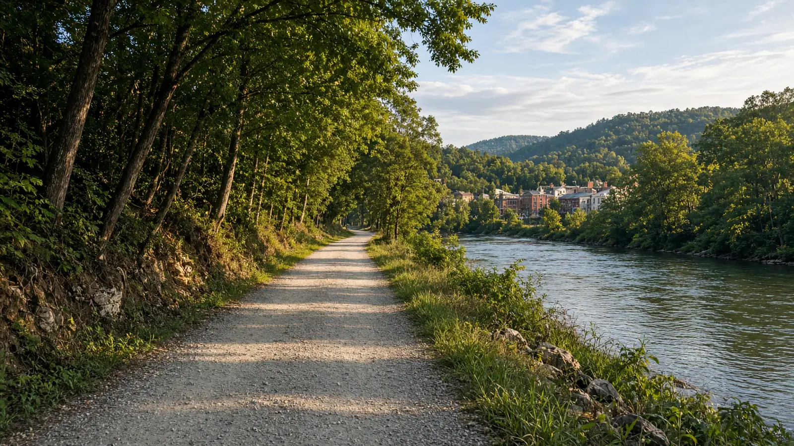
Where to ride in Greenbrier County
The county splits into two riding scales: a compact trail network at the state forest with loop options under three miles, and the Greenbrier River Trail's gentle riverbed grade for real distance. A visitor based in Lewisburg can do both in one weekend without repeating trailheads. The forest's Kate's Mountain ridgelines and the river corridor behave differently in weather, so check conditions for each separately rather than assuming the whole county shares one forecast.
Compare the five route options
No single route fits every rider or every electric bicycle. Compare distance, starting point, surface, and managing authority before choosing.
Old Field Loop Trail
Start from The Shelter #2 parking area, meandering through the woods above the picnic area. The documented distance is 2-mile loop. Expect A loop trail the state designed with mountain bikers in mind. Confirm the access note before choosing this over another Greenbrier County option.
The Holler Trail
Start from Two-tenths of a mile from the main forest road on Old Roads Trail. The documented distance is 1.2 miles. Expect A flowing line meandering through a deep hollow along the base of Kate's Mountain. Confirm the access note before choosing this over another Greenbrier County option.
YCC Trail
Start from Across the road from the entrance to the Shelter II area. The documented distance is 0.6-mile figure-eight. Expect Rebuilt in 2014 as a combination trail for walkers and beginning mountain bikers after 2011 derecho damage. Confirm the access note before choosing this over another Greenbrier County option.
Twin Pines Trail
Start from The main forest road just north of the picnic area. The documented distance is 0.6 miles. Expect A hiking and biking connector paralleling the forest road. Confirm the access note before choosing this over another Greenbrier County option.
Black Bear Trail
Start from Three-tenths of a mile from the cabin area at the Old Roads Trail intersection, or a fifth of a mile from the main forest road on Young's Nature Trail. The documented distance is 2 miles. Expect Two hollows with a gentle climb, combinable with Old Roads Trail for distance. Confirm the access note before choosing this over another Greenbrier County option.
eBike shop hubs
Use these city directories for addresses, phone numbers, detail pages, and claim links. A city page is a contact index, not proof of current rental stock or route access.
Rental and tour contacts
These 3 existing cards are categorized as rental, tour, or outfitter contacts. Call before planning around inventory, guide availability, shuttles, or trail permission.
Bicycle rental service · Caldwell, WV
★★★★½4.9(32 reviews)
📍 114 Honaker Hollow Rd Caldwell, WV 24925
📞 (304) 992-5187
Bicycle rental service · Caldwell, WV
★★★½3.8(5 reviews)
📍 135 Bicycle Ln Caldwell, WV 24925
📞 (304) 536-0333
Bicycle rental service · Rainelle, WV
📍 458 Main St Rainelle, WV 25962
📞 (304) 667-3343
Named eBike routes and access checks
1. Old Field Loop Trail
Distance: 2-mile loop
Start: The Shelter #2 parking area, meandering through the woods above the picnic area
Surface and rider fit: A loop trail the state designed with mountain bikers in mind
eBike access: The forest's trail page describes its twelve trails as suitable for hiking and biking, and this loop was explicitly designed for mountain bikers. Class-specific eBike rules are not published; confirm with the forest office.
Etiquette and planning: This is the signature ride of the network: a purpose-built mountain-bike loop with an honest published distance. The bisecting Old Fields Trail lets you shorten the outing without abandoning it, which is exactly what a mixed group needs. Expect woodland tread above the picnic area rather than manicured surface, and give walkers the inside line where the loop narrows. Use it as your battery benchmark before attempting the ridge lines, because its two-mile circuit at known grade teaches you the bike's real consumption.
Old Field Loop Trail official or managing-source information
2. The Holler Trail
Distance: 1.2 miles
Start: Two-tenths of a mile from the main forest road on Old Roads Trail
Surface and rider fit: A flowing line meandering through a deep hollow along the base of Kate's Mountain
eBike access: The forest's own description names this trail for mountain bikers and hikers; confirm eBike class with the office.
Etiquette and planning: The forest describes this as a whimsical, flowing trail through a deep hollow, and that flowing character is exactly what a mid-drive eBike rewards. The route is short but the hollow setting means damp tread holds up longer after rain than the ridgelines. Connect it from Old Roads Trail as the published access describes rather than dropping in from the road, and keep assist moderate through the hollow's curves. Pair it with Old Field Loop for a genuine mountain-bike half-day without ever leaving the forest.
The Holler Trail official or managing-source information
3. YCC Trail
Distance: 0.6-mile figure-eight
Start: Across the road from the entrance to the Shelter II area
Surface and rider fit: Rebuilt in 2014 as a combination trail for walkers and beginning mountain bikers after 2011 derecho damage
eBike access: Described as a combination walking and beginning mountain-bike trail; confirm eBike class with the office.
Etiquette and planning: This is the beginner line the forest rebuilt deliberately for new riders, and it makes the right first lap for anyone testing a rental or a new bike's fit. Its figure-eight shape means you can ride half and exit without losing the route. The 45-minute walking time overstates cycling duration; treat the published figure as a hint, not a schedule. Because it starts across from a shelter area, expect picnic traffic on summer weekends and ride the opening straight at walking pace.
YCC Trail official or managing-source information
4. Twin Pines Trail
Distance: 0.6 miles
Start: The main forest road just north of the picnic area
Surface and rider fit: A hiking and biking connector paralleling the forest road
eBike access: The forest's own page describes this as a hiking and biking connector path; confirm eBike class with the office.
Etiquette and planning: A connector by design, and the honest way to turn separate loops into a continuous ride without touching the main road. The park's description of its parallel alignment makes navigation simple even for a first visit. Use it to link the picnic area to the Old Roads and Holler network, and treat the road crossing points as walk-through zones. It is also the practical shortcut back when a young rider's battery or patience runs lower than planned.
Twin Pines Trail official or managing-source information
5. Black Bear Trail
Distance: 2 miles
Start: Three-tenths of a mile from the cabin area at the Old Roads Trail intersection, or a fifth of a mile from the main forest road on Young's Nature Trail
Surface and rider fit: Two hollows with a gentle climb, combinable with Old Roads Trail for distance
eBike access: The trail page lists biking among the network's uses; eBike class permission is not published. Confirm with the forest office.
Etiquette and planning: The published double trailhead gives you a genuine choice of approach direction, and the gentle climb profile suits loaded bikes better than the steeper Kate's Mountain lines. The forest suggests combining it with Old Roads Trail, and that combination is the honest way to build a three-mile-plus outing from short parts. The hollows hold damp leaf cover after rain; test braking on the first descent. Keep noise discipline near the hollows, where the trail's name reflects the resident wildlife rather than the riding character.
Black Bear Trail official or managing-source information
Half-day and full-day eBike plans
For a half-day, warm up on YCC across from Shelter II, ride the full Old Field Loop, then connect via Twin Pines to the Holler and Black Bear network before returning by Old Roads. Every leg is published at 0.6 to 2 miles, so the total stays honest at roughly seven miles of looping, flowing singletrack. Call the forest office about eBike class rules before unloading, and use the picnic area as your regroup point. Lewisburg shops are twenty minutes away for any morning adjustment.
For a full day, spend the morning on the forest's trail network as above, then move to the Greenbrier River Trail at Caldwell or Ronceverte for an afternoon riverbed out-and-back at rail-trail grade. That combination shows both of the county's riding characters without a rushed transition. Pack lunch for the river corridor, where facilities are sparse between access points. Reserve battery for the return leg on the rail trail, and check the forest's gate hours before a late return to the trailhead parking.
For a route day in Greenbrier County, carry water, a charged phone, the managing source, and only the tools you know how to use. A portable power station for a Greenbrier County trailhead base is an optional charging accessory, not permission to plug in or a substitute for conservative range planning. Build the Greenbrier County return around the battery already on the bike; never assume a public trailhead outlet is available.
Plan the route, service stop, and return together
A useful Greenbrier County plan starts with one documented route, not a list of pins. Compare Old Field Loop Trail, The Holler Trail, and YCC Trail by start point and surface. Put the longest or least certain option first only when weather, daylight, and battery reserve support it. Otherwise, choose the shorter confirmed outing and keep the second route as a true fallback.
Use Lewisburg as the first service hub because it is represented by an existing directory card. Call about repairs or rentals before driving. A shop cannot override a park, trail authority, road closure, or private owner. Keep the manager’s source open on the same phone that holds the route and emergency contacts.
For each of the five Greenbrier County entries above, note whether the mileage is a loop, one way, or chosen by turnaround. Then budget the full return. Surface, elevation, temperature, wind, rider weight, assist level, and tire pressure all change consumption. Leave enough reserve to return without searching for an outlet. If the published information is incomplete, shorten this county ride rather than converting uncertainty into a precise claim.
What not to ride in Greenbrier County
Do not confuse the forest's hiking-rated ridgelines with bike trails: Holsapple follows an old logging road up Kate's Mountain but its published description is written for hikers, and Young's Nature Trail climbs a steep ridgeline that ends on a road. Mabel Dowdy serves the cabin area on foot. Stay off the forest management roads when logging operations are signed as active, and keep bikes out of the cabin and picnic lawns. The Kate's Mountain flora the forest protects grows beside the trails; ride over it, not through it.
When to ride Greenbrier County
The forest's Kate's Mountain flora is a late-spring draw, and the hollow trails hold their moisture longest, so sequence ridge lines first after rain. Summer weekends fill the picnic and shelter areas; ride the loops before noon and swim afterward. The rail trail's shaded river cuts make it the summer distance option. In winter the forest road stays passable but the hollows hold ice; call 304-536-1944 after a freeze, and treat hunting seasons on the surrounding forest lands as a blaze-orange reminder.
West Virginia eBike laws and route permission
W. Va. Code §17C-1-70 defines an electric bicycle as a two- or three-wheeled vehicle with working pedals and an electric motor of fewer than 750 watts. Class 1 provides pedal assistance that stops at 20 mph. Class 2 can use a throttle, with assistance stopping at 20 mph. Class 3 provides pedal assistance that stops at 28 mph. Those assistance cutoffs do not promise that a route is safe or open to every class.
W. Va. Code §17C-11-8 generally gives Class 1 and Class 2 electric bicycles the rights of conventional bicycles where bicycle use is allowed. Class 3 use is narrower on bicycle paths, multiuse trails, and single-use trails unless the route is within a highway or roadway or the authority with jurisdiction expressly permits it. A Class 3 bicycle also needs a speedometer. Federal agencies, municipalities, state parks, private owners, and trail authorities can apply their own restrictions.
Operators and passengers under 15 must wear a properly fitted and fastened bicycle helmet. Adults should wear helmets as a safety measure, but that recommendation is not a statewide all-adult helmet claim. The statute also addresses title, registration, licensing, financial responsibility, and riding under the influence. Read the West Virginia eBike laws guide, then check the current notice from the manager of the exact route.
Frequently asked questions
Where should I start planning an eBike ride in Greenbrier County?
Start with Old Field Loop Trail. Its documented start is The Shelter #2 parking area, meandering through the woods above the picnic area. Check the linked manager information, current closures, and your bicycle class before travelling.
Does every bicycle route in Greenbrier County allow every eBike class?
No. West Virginia law distinguishes Class 1, Class 2, and Class 3 use, while federal, state, municipal, and private managers can apply route-specific rules. A bicycle symbol is not universal electric-bicycle permission.
What helmet rule applies to electric bicycles in West Virginia?
W. Va. Code §17C-11-8 requires operators and passengers under 15 to wear a properly fitted and fastened bicycle helmet. Adults should wear helmets too, but that safety advice is not a statewide all-adult mandate.
Do the Greenbrier County directory cards confirm rentals or battery repair?
No. A directory card is a contact lead. Call with the date, rider height, bike brand, motor system, and intended route. Ask the business to confirm the exact rental, diagnostic, or repair service before travelling.
How should I estimate range for a Greenbrier County ride?
Use the full return distance for Old Field Loop Trail or the chosen alternative, not a best-case manufacturer range. Include elevation, surface, weather, detours, and the least confident rider in the plan.
What should I do when a Greenbrier County trailhead, bridge, or access road is closed?
Turn around and follow the manager’s closure notice. Do not bypass barriers or cross private property. Choose a separately confirmed route rather than inventing a connection on the ground.
All eBike shops in Greenbrier County
The complete local directory is the Greenbrier County eBike shops and repair contacts page. This guide owns route planning; the county hub owns the full shop list.